
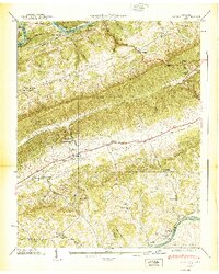
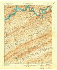
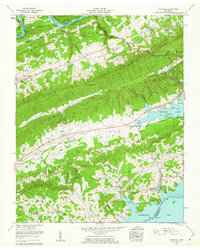
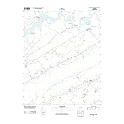
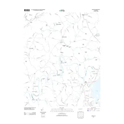
1935 Map of Tate Springs
USGS Topo · Published 1935About this map
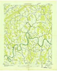
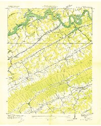
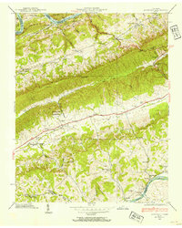
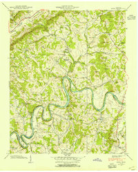
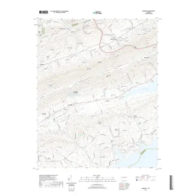
The Clinch River and Holston River wind through the parallel ridges of East Tennessee in this 1935 field examination. At the center of the sheet, Tate Springs and Bean Station sit along the route of State Highway 32, while the northern portion of the map is defined by the rugged terrain of Wallen Ridge and War Ridge. This survey is particularly notable for recording the Norris Lake Reservoir outline as established by the Tennessee Valley Authority, capturing the landscape just as large-scale hydro-engineering began to reshape the river valleys. Local life is documented through numerous family and community landmarks, from Lawson Mill on Big Creek to river crossings like Swan Island Ferry and Cloud Ferry. Genealogists will find a dense network of country schools and churches, including Lizard Ridge Sch Cem and the CCC Camp near Poor Valley Ridge.
Find a feature on this map
65 named features on this map. Tap any name to fly to it.
Don’t see what you’re looking for? This feature index may not catch every label — zoom into the map to look around manually.
Map Details
Editions of this 1935 Tate Springs Map
This is the sole edition of this map. No revisions or reprints were ever made.
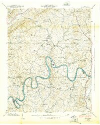
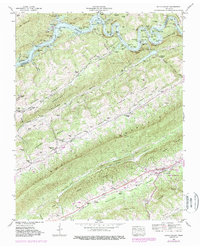
Historical Maps of Morristown Through Time
28 maps found

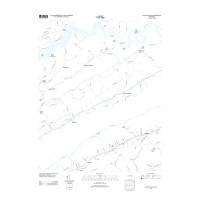
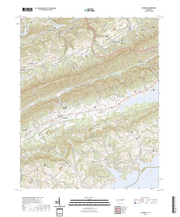
1935 Avondale
Grainger County, TN
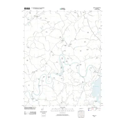
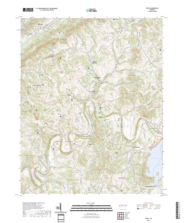
1935 Joppa
Grainger County, TN
1935 Tate Springs
Grainger County, TN
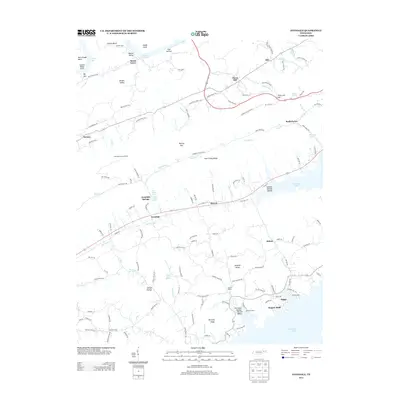
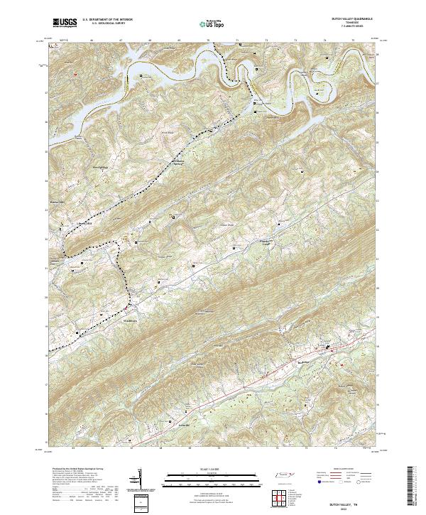
1936 Dutch Valley
Grainger County, TN
1938 Avondale
Grainger County, TN
1938 Joppa
Grainger County, TN
1939 Avondale
Grainger County, TN
1939 Joppa
Grainger County, TN
1941 Dutch Valley
Grainger County, TN
1942 Dutch Valley
Grainger County, TN
1960 Avondale
Grainger County, TN
1961 Joppa
Grainger County, TN
1979 Avondale
Grainger County, TN
2010 Avondale
Grainger County, TN
2010 Dutch Valley
Grainger County, TN
2010 Joppa
Grainger County, TN
2013 Avondale
Grainger County, TN
2013 Dutch Valley
Grainger County, TN
2013 Joppa
Grainger County, TN
2016 Avondale
Grainger County, TN
2016 Dutch Valley
Grainger County, TN
2016 Joppa
Grainger County, TN
2019 Avondale
Grainger County, TN
2019 Dutch Valley
Grainger County, TN
2019 Joppa
Grainger County, TN
2022 Avondale
Grainger County, TN
2022 Dutch Valley
Grainger County, TN
2022 Joppa
Grainger County, TN