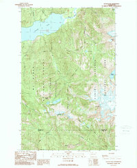
1989 Map of Bacon Peak
USGS Topo · Published 1989About this map
Baker Lake and its northern inflow from the Baker River dominate the northern portion of this 1989 survey, where the waters are contained within the Mt Baker National Forest. This high-altitude landscape is defined by its transition between protected lands, including the Noisy-Diobsud Wilderness and the North Cascades National Park. The topography is marked by significant peaks such as Bacon Peak, Mt Watson, and Hagan Mtn, while the drainage basins of Noisy Creek and Diobsud Creek carve deep into the mountain sides. For those studying the hydrology and land management of the Skagit and Whatcom county line, the map identifies numerous high-mountain water bodies including Watson Lakes, Anderson Lakes, and the secluded Edgar Lake. The lack of road development throughout the center of the quadrangle highlights the preserved state of the wilderness areas at the end of the 1980s.
Find a feature on this map
26 named features on this map. Tap any name to fly to it.
Don’t see what you’re looking for? This feature index may not catch every label — zoom into the map to look around manually.
Map Details
Editions of this 1989 Bacon Peak Map
2 editions found
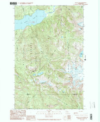
Other maps of this area

1909 · Mt Baker
USGS Topo · 1:192,000

1915 · Mt. Baker
USGS Topo · 1:250,000

1952 · Lake Shannon
USGS Topo · 1:62,500

1953 · Mt Shuksan
USGS Topo · 1:62,500

1953 · Marblemount
USGS Topo · 1:62,500

1953 · Mt Challenger
USGS Topo · 1:62,500

1955 · Concrete
USGS Topo · 1:250,000

1958 · Concrete
USGS Topo · 1:250,000

1962 · Concrete
USGS Topo · 1:250,000

1979 · Mt. Baker
USGS Topo · 1:100,000