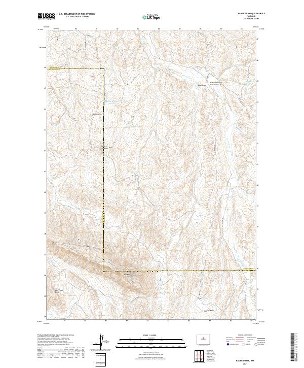
2021 Map of Bader Draw
USGS Topo · Published 2021About this map
Black Mtn dominates the southern landscape of this terrain, where the boundary between Washakie and Hot Springs counties meanders through a network of dry draws and seasonal watercourses. The drainage patterns of Nowater Cr and Mud Cr define the geography, supported by small-scale ranching infrastructure such as Holland Reservoir and the Black Mountain Reservoir. Transport is limited to primitive routes like Nowater Rd and Devils Slide Rd, which navigate the elevation changes between Minnick Basin and the Lake Creek Divide. This area represents the high desert rangeland of the Bighorn Basin, where the naming of Bader Draw and Scorpion Draw suggests the local character of the land and its historical use for livestock grazing.
Find a feature on this map
24 named features on this map. Tap any name to fly to it.
Don’t see what you’re looking for? This feature index may not catch every label — zoom into the map to look around manually.
Map Details
Editions of this 2021 Bader Draw Map
This is the sole edition of this map. No revisions or reprints were ever made.
Other maps of this area

1952 · Rathbun Ranch
USGS Topo · 1:24,000

1952 · Battle Mountain
USGS Topo · 1:24,000

1952 · Bull Mountain
USGS Topo · 1:24,000

1955 · Arminto
USGS Topo · 1:250,000

1957 · Rathbun Ranch
USGS Topo · 1:24,000

1958 · Arminto
USGS Topo · 1:250,000

1960 · Packsaddle Creek
USGS Topo · 1:24,000

1962 · Arminto
USGS Topo · 1:250,000

1966 · Deadline Draw
USGS Topo · 1:24,000

1966 · Sand Point
USGS Topo · 1:24,000