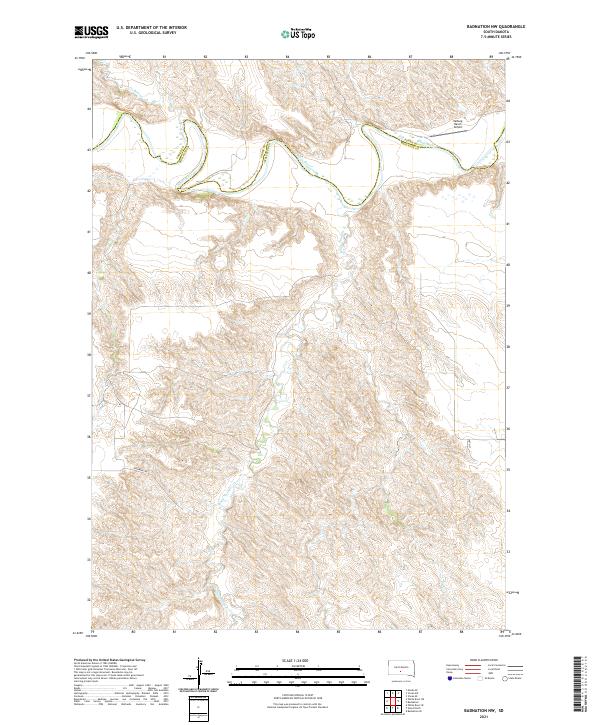
2021 Map of Badnation NW
USGS Topo · Published 2021About this map
The White River carves a deep, winding path through the borderlands of Mellette and Jones Counties, defining a landscape of complex drainage systems and eroded tablelands. Along its northern bends, the Valburg Ranch Airport marks a rare point of modern aviation infrastructure in an otherwise agricultural and ranching corridor. Seasonal watercourses such as Bull Cr and Bitan Cr feed into the river from the north, while the southern reach is dominated by the extensive basin of White Thunder Cr, which meanders through a network of draws and ridges. Transportation is limited to a few section-line routes, including Ironwing Rd and 258th St, illustrating the sparse, large-acreage settlement pattern of south-central South Dakota. The mapping clearly delineates the transition between township systems, showing how the river serves as both a physical barrier and a jurisdictional boundary.
Find a feature on this map
16 named features on this map. Tap any name to fly to it.
Don’t see what you’re looking for? This feature index may not catch every label — zoom into the map to look around manually.
Map Details
Editions of this 2021 Badnation NW Map
This is the sole edition of this map. No revisions or reprints were ever made.
Other maps of this area

1951 · Murdo SE
USGS Topo · 1:24,000

1951 · Badnation
USGS Topo · 1:24,000

1951 · White River NE
USGS Topo · 1:24,000

1951 · Badnation NW
USGS Topo · 1:24,000

1955 · Martin
USGS Topo · 1:250,000

1958 · Martin
USGS Topo · 1:250,000

1970 · Vivian SW
USGS Topo · 1:24,000

1972 · Vivian SE
USGS Topo · 1:24,000

1982 · White River SE
USGS Topo · 1:24,000

1982 · Wood North
USGS Topo · 1:24,000