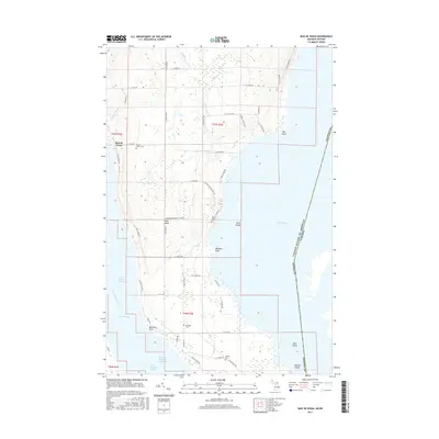
2017 Map of Baie de Wasai
USGS Topo · Published 2017About this map
Sugar Island dominates this international border landscape, surrounded by the waters of the Saint Marys River and Lake George. The island's geography is defined by a dense network of local roads and several small, significant community sites that reflect its cultural heritage. Local history is anchored by the Baie de Wasai settlement on the western shore and a series of cemeteries scattered across the island's interior and southern reaches, including the Finnish Cem, Wilwalk Cem, and the Bai-de-wasai Cem.
Find a feature on this map
62 named features on this map. Tap any name to fly to it.
Don’t see what you’re looking for? This feature index may not catch every label — zoom into the map to look around manually.
Map Details
Editions of this 2017 Baie de Wasai Map
This is the sole edition of this map. No revisions or reprints were ever made.
Other maps of this area

1913 · Sault Sainte Marie
USGS Topo · 1:62,500

1919 · Neebish
USGS Topo · 1:62,500

1941 · Neebish
USGS Topo · 1:63,360

1941 · Sault Sainte Marie
USGS Topo · 1:63,360

1951 · Barbeau
USGS Topo · 1:24,000

1951 · Baie De Wasai
USGS Topo · 1:24,000

1951 · Oak Ridge
USGS Topo · 1:24,000

1951 · Sault Ste. Marie
USGS Topo · 1:62,500

1951 · Sault Ste. Marie South
USGS Topo · 1:24,000

1951 · Payment
USGS Topo · 1:24,000