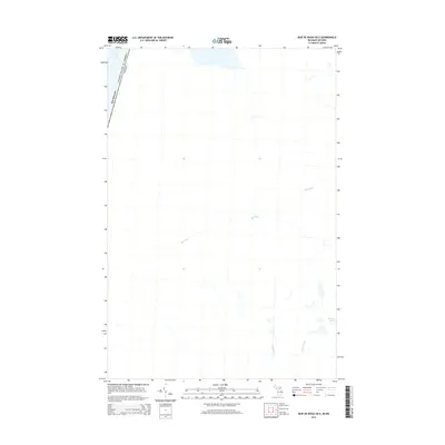
2014 Map of Baie de Wasai OE E
USGS Topo · Published 2014About this map
The international border between Michigan and Ontario cuts through the waters of Lake George in the northwestern corner of this 2014 survey. The landscape is defined by its drainage into the Great Lakes system, with the meandering course of Bar River flowing westward across the center of the sheet. Further south, the terrain includes Reserve Lake and small tributaries like Anderson Cr and Sheyfelt Cr, illustrating the hydrography of the Algoma District along the St. Marys River corridor. This map documents a sparsely developed area where natural watercourses and the political boundary between the United States and Canada are the primary focal points.
Find a feature on this map
6 named features on this map. Tap any name to fly to it.
Don’t see what you’re looking for? This feature index may not catch every label — zoom into the map to look around manually.
Map Details
Editions of this 2014 Baie de Wasai OE E Map
This is the sole edition of this map. No revisions or reprints were ever made.
Other maps of this area

1919 · Neebish
USGS Topo · 1:62,500

1941 · Neebish
USGS Topo · 1:63,360

1951 · Baie De Wasai
USGS Topo · 1:24,000

1951 · Oak Ridge
USGS Topo · 1:24,000

1951 · Payment
USGS Topo · 1:24,000

1951 · Lake George
USGS Topo · 1:62,500

1954 · Sault Sainte Marie
USGS Topo · 1:250,000

1956 · Sault Sainte Marie
USGS Topo · 1:250,000

1957 · Sault Sainte Marie
USGS Topo · 1:250,000

1958 · Sault Sainte Marie
USGS Topo · 1:250,000