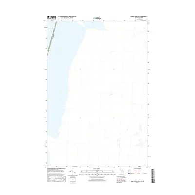
2017 Map of Baie de Wasai OE E
USGS Topo · Published 2017About this map
Lake George dominates the northwestern corner of this international borderlands survey, where the boundary between Chippewa Co, Michigan, and Ontario, Canada, is defined by the water. The landscape is characterized by the winding path of the Bar River, which meanders through the township of Macdonald, Meredith and Aberdeen Additional. This 2017 study illustrates the sparse development and aqueous terrain that defines the region east of the St. Marys River system. The spatial arrangement of the river and the expansive lake highlights the natural geography that has historically dictated settlement patterns and transit along this portion of the United States and Canada border.
Find a feature on this map
3 named features on this map. Tap any name to fly to it.
Don’t see what you’re looking for? This feature index may not catch every label — zoom into the map to look around manually.
Map Details
Editions of this 2017 Baie de Wasai OE E Map
This is the sole edition of this map. No revisions or reprints were ever made.
Other maps of this area

1919 · Neebish
USGS Topo · 1:62,500

1941 · Neebish
USGS Topo · 1:63,360

1951 · Baie De Wasai
USGS Topo · 1:24,000

1951 · Oak Ridge
USGS Topo · 1:24,000

1951 · Payment
USGS Topo · 1:24,000

1951 · Lake George
USGS Topo · 1:62,500

1954 · Sault Sainte Marie
USGS Topo · 1:250,000

1956 · Sault Sainte Marie
USGS Topo · 1:250,000

1957 · Sault Sainte Marie
USGS Topo · 1:250,000

1958 · Sault Sainte Marie
USGS Topo · 1:250,000