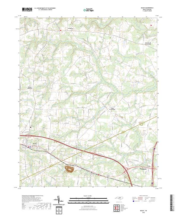
2022 Map of Bailey
USGS Topo · Published 2022About this map
Bailey and Sims anchor this landscape along the southwestern edge of Nash County, where the transition from agricultural fields to low-lying wetlands defines the local geography. The area is characterized by an extensive network of named waterways, including the broad Bloomery Swamp, Toisnot Swamp, and Whiteoak Swamp, which weave between small rural settlements like Stanhope and Strickland Crossroads. To the north, the Tar River marks the terrain, while further south, Millstone Cr and Marsh Swamp suggest a landscape deeply influenced by its drainage patterns. Local history is evidenced through features such as Bailey Cem and the naming of secondary roads like Stoney Hill Church Rd and W Hornes Church Rd. A single Rock Quarry near Sims points to the region's extraction activity, providing a contrast to the primarily rural and residential nature of the outlying communities.
Find a feature on this map
102 named features on this map. Tap any name to fly to it.
Don’t see what you’re looking for? This feature index may not catch every label — zoom into the map to look around manually.
Map Details
Editions of this 2022 Bailey Map
This is the sole edition of this map. No revisions or reprints were ever made.
Other maps of this area

1902 · Kenly
USGS Topo · 1:62,500

1902 · Rocky Mount
USGS Topo · 1:62,500

1902 · Spring Hope
USGS Topo · 1:62,500

1903 · Kenly
USGS Topo · 1:62,500

1904 · Rocky Mount
USGS Topo · 1:62,500

1904 · Springhope
USGS Topo · 1:62,500

1904 · Wilson
USGS Topo · 1:62,500

1953 · Rocky Mount
USGS Topo · 1:250,000

1953 · Raleigh
USGS Topo · 1:250,000

1954 · Rocky Mount
USGS Topo · 1:250,000