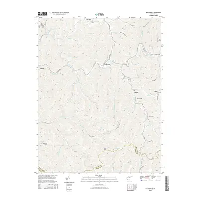
2014 Map of Baileysville
USGS Topo · Published 2014About this map
The Guyandotte River carves a deep path through Wyoming County, anchoring several small communities including Baileysville and Brenton. This 2014 survey captures the landscape of the southern West Virginia coalfields, where residential life is concentrated in the narrow valleys of Clear Fork and Brier Creek. The map shows a transition from traditional settlements like Sun Hill and Simon to modern infrastructure, indicated by the Private Mining Rd and numerous timbering or mining tracks like Thrash Frk.
Find a feature on this map
82 named features on this map. Tap any name to fly to it.
Don’t see what you’re looking for? This feature index may not catch every label — zoom into the map to look around manually.
Map Details
Editions of this 2014 Baileysville Map
This is the sole edition of this map. No revisions or reprints were ever made.
Other maps of this area

1891 · Tazewell
USGS Topo · 1:125,000

1891 · Oceana
USGS Topo · 1:125,000

1893 · Oceana
USGS Topo · 1:125,000

1895 · Tazewell
USGS Topo · 1:125,000

1897 · Tazewell
USGS Topo · 1:125,000

1898 · Oceana
USGS Topo · 1:125,000

1909 · Gilbert
USGS Topo · 1:48,000

1910 · Pineville
USGS Topo · 1:48,000

1910 · Iaeger
USGS Topo · 1:48,000

1912 · Gilbert
USGS Topo · 1:62,500