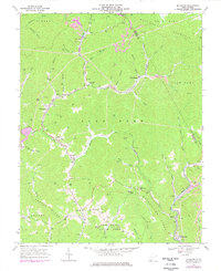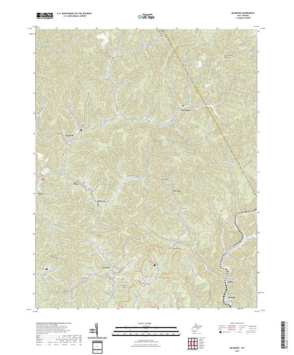
2023 Map of Baileysville
USGS Topo · Published 2023About this map
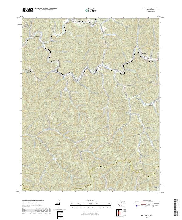
The Guyandotte River carves a deep, winding path through the heart of the Wyoming County coalfields, serving as the central drainage for a dense network of mountain hollows. Settlements like Baileysville and Brenton are clustered along the riverbanks, where the topography allows for modest development alongside CO Hwy 9/2. Higher in the ridges, smaller communities such as Sun Hill and Lincoln occupy the upland spaces, while the southern boundary follows the high ground of Indian Ridge into McDowell County.
Find a feature on this map
77 named features on this map. Tap any name to fly to it.
Don’t see what you’re looking for? This feature index may not catch every label — zoom into the map to look around manually.
Map Details
Editions of this 2023 Baileysville Map
This is the sole edition of this map. No revisions or reprints were ever made.
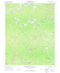
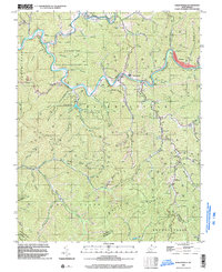
Historical Maps of Fanrock Through Time
5 maps found