
1964 Map of Baker
USGS Topo · Published 1966About this map
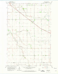
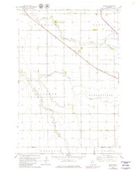
The Great Northern railroad cuts a sharp diagonal through the prairie landscape of Clay County, centering on the small settlement of Baker. This mid-century survey illustrates a region defined by its hydrology and agricultural township structure, where the wandering paths of Stony Creek and Whisky Creek contrast with the rigid grid of section lines and field boundaries. To the south, the South Branch Buffalo River meanders through Alliance and Deerhorn townships, while the Landing Field west of the main rail line suggests the early infrastructure of rural aviation in this part of the Red River Valley. The map captures the interface of six distinct townships, including Elmwood and Barnesville, at a time when local transport still relied heavily on the rail corridor and the emerging network of county roads crossing the Clay and Wilkin county line.
Find a feature on this map
14 named features on this map. Tap any name to fly to it.
Don’t see what you’re looking for? This feature index may not catch every label — zoom into the map to look around manually.
Map Details
Editions of this 1964 Baker Map
3 editions found
Other maps of this area

1895 · Fargo
USGS Topo · 1:125,000

1897 · Fargo
USGS Topo · 1:125,000

1919 · Barnesville
USGS Topo · 1:62,500

1919 · Hawley
USGS Topo · 1:62,500

1952 · Barnesville
USGS Topo · 1:62,500

1953 · Fargo
USGS Topo · 1:250,000

1956 · Fargo
USGS Topo · 1:250,000

1964 · Sabin
USGS Topo · 1:24,000
1964 · Glyndon South
USGS Topo · 1:24,000
1964 · Comstock
USGS Topo · 1:24,000