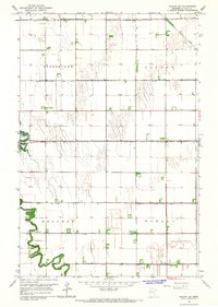
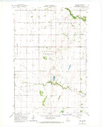
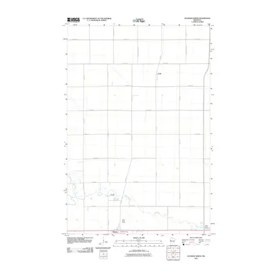
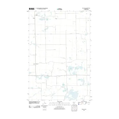
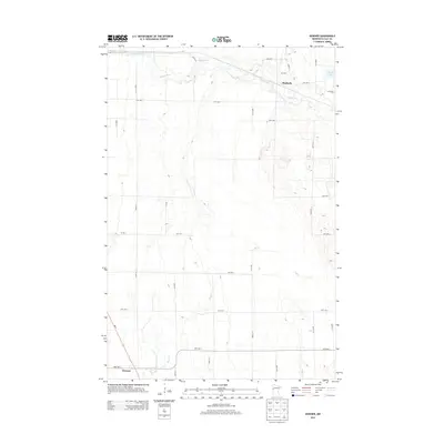
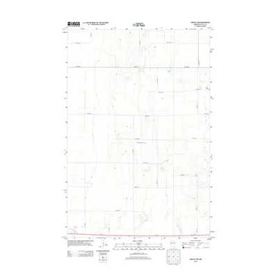
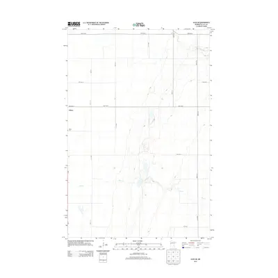
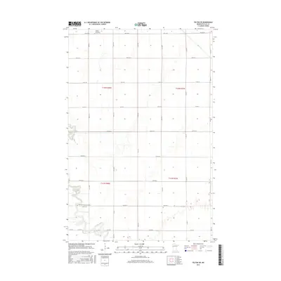
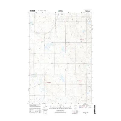
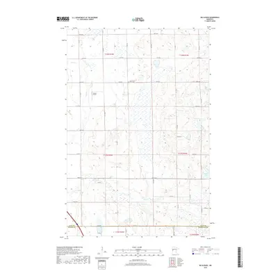
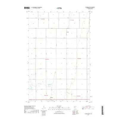
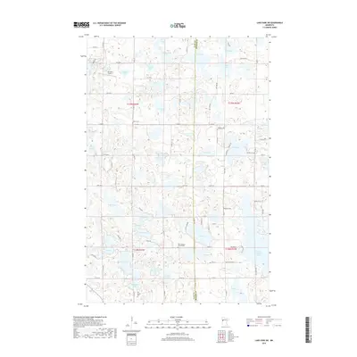
1964 Map of Glyndon South
USGS Topo · Published 1966About this map
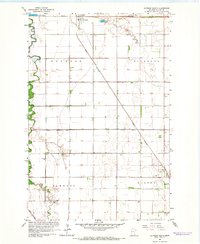
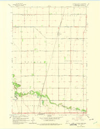
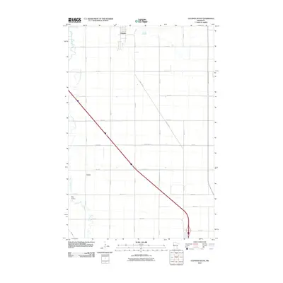
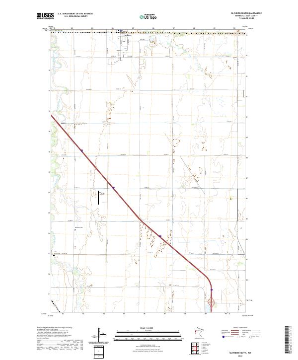
Glyndon serves as the focal point for this mid-1960s survey of Clay County, situated at the junction of the Northern Pacific and Great Northern railroads. This intersection highlights the region's historical reliance on rail infrastructure for the transport of agricultural goods from the surrounding townships of Glyndon, Riverton, Elmwood, and Elkton. The landscape is defined by the meandering South Branch Buffalo River and its associated tributary, South Branch Buffalo Creek, which cut through a grid of section lines and drainage features like County Ditch No 21.
Find a feature on this map
15 named features on this map. Tap any name to fly to it.
Don’t see what you’re looking for? This feature index may not catch every label — zoom into the map to look around manually.
Map Details
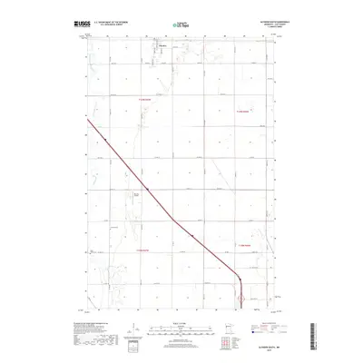
Editions of this 1964 Glyndon South Map
This is the sole edition of this map. No revisions or reprints were ever made.
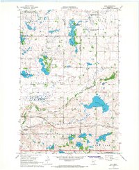
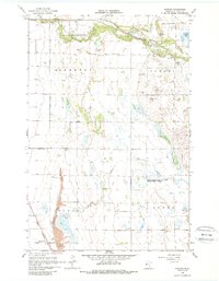
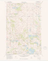
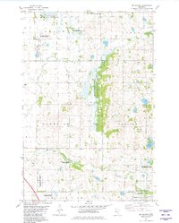
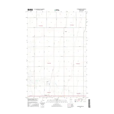
Historical Maps of Glyndon Through Time
66 maps found
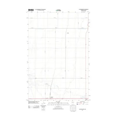
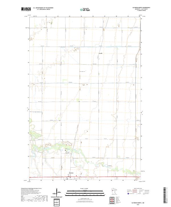
1964 Glyndon North
Clay County, MN
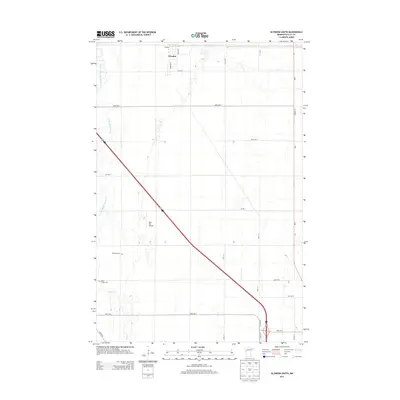
1964 Glyndon South
Clay County, MN
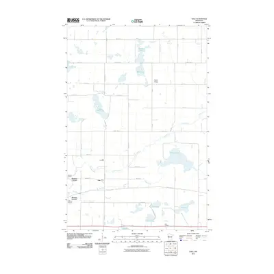
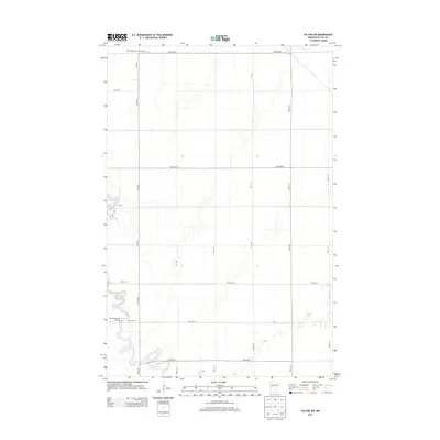
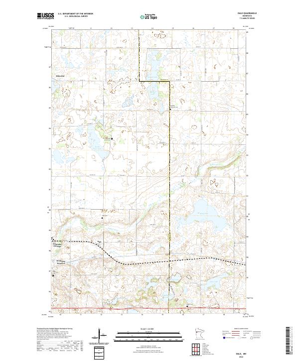
1966 Dale
Clay County, MN
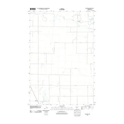
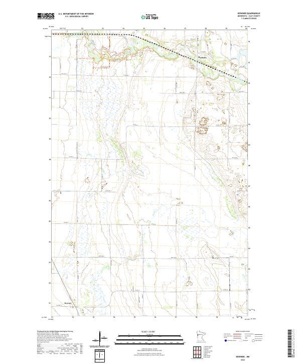
1966 Downer
Clay County, MN
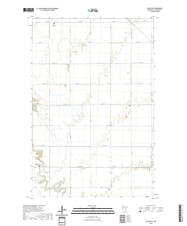
1966 Felton SW
Clay County, MN
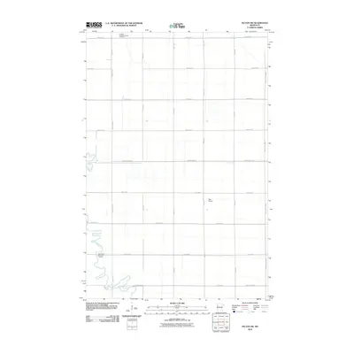
1966 Hawley NW
Clay County, MN
1966 Hawley SE
Clay County, MN
1966 Lake Park SW
Clay County, MN
1966 Ulen SW
Clay County, MN
1973 Rollag
Clay County, MN
1981 Big Slough
Clay County, MN
2010 Big Slough
Clay County, MN
2010 Dale
Clay County, MN
2010 Downer
Clay County, MN
2010 Felton SW
Clay County, MN
2010 Glyndon North
Clay County, MN
2010 Glyndon South
Clay County, MN
2010 Hawley NW
Clay County, MN
2010 Hawley SE
Clay County, MN
2010 Lake Park SW
Clay County, MN
2010 Rollag
Clay County, MN
2011 Ulen SW
Clay County, MN
2013 Big Slough
Clay County, MN
2013 Dale
Clay County, MN
2013 Downer
Clay County, MN
2013 Felton SW
Clay County, MN
2013 Glyndon North
Clay County, MN
2013 Glyndon South
Clay County, MN
2013 Hawley NW
Clay County, MN
2013 Hawley SE
Clay County, MN
2013 Lake Park SW
Clay County, MN
2013 Rollag
Clay County, MN
2013 Ulen SW
Clay County, MN
2016 Big Slough
Clay County, MN
2016 Dale
Clay County, MN
2016 Downer
Clay County, MN
2016 Felton SW
Clay County, MN
2016 Glyndon North
Clay County, MN
2016 Glyndon South
Clay County, MN
2016 Hawley NW
Clay County, MN
2016 Hawley SE
Clay County, MN
2016 Lake Park SW
Clay County, MN
2016 Rollag
Clay County, MN
2016 Ulen SW
Clay County, MN
2019 Big Slough
Clay County, MN
2019 Dale
Clay County, MN
2019 Downer
Clay County, MN
2019 Felton SW
Clay County, MN
2019 Glyndon North
Clay County, MN
2019 Glyndon South
Clay County, MN
2019 Hawley NW
Clay County, MN
2019 Hawley SE
Clay County, MN
2019 Lake Park SW
Clay County, MN
2019 Rollag
Clay County, MN
2019 Ulen SW
Clay County, MN
2022 Big Slough
Clay County, MN
2022 Dale
Clay County, MN
2022 Downer
Clay County, MN
2022 Felton SW
Clay County, MN
2022 Glyndon North
Clay County, MN
2022 Glyndon South
Clay County, MN
2022 Hawley NW
Clay County, MN
2022 Hawley SE
Clay County, MN
2022 Lake Park SW
Clay County, MN
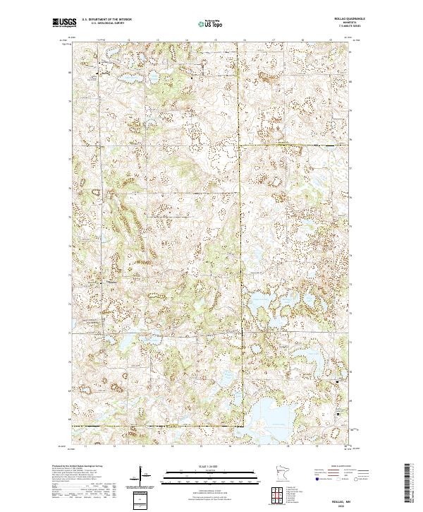
2022 Rollag
Clay County, MN
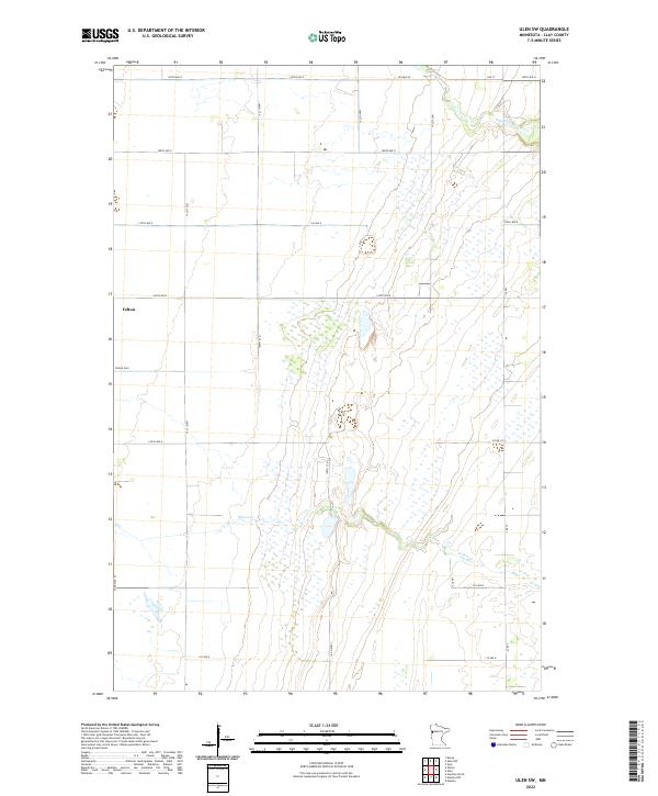
2022 Ulen SW
Clay County, MN