
1964 Map of Dilworth
USGS Topo · Published 1966About this map
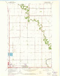
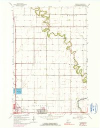
Buffalo River meanders across this Clay County landscape, its winding course defining the eastern and northern reaches of the quadrangle. In the south, the settlement of Dilworth shows a compact grid adjacent to the prominent rail lines of the Northern Pacific, which drove the area's development as a vital transportation hub near the Red River Valley. The map also captures the small community of Kragnes in the northwest corner, situated along the Great Northern railway. This 1964 survey documents a period of stable agricultural and rail-dependent growth, where the complex drainage patterns of the river system contrast with the rigid sectional road grid that characterizes the surrounding prairie.
Find a feature on this map
3 named features on this map. Tap any name to fly to it.
Don’t see what you’re looking for? This feature index may not catch every label — zoom into the map to look around manually.
Map Details
Editions of this 1964 Dilworth Map
3 editions found
Other maps of this area

1895 · Fargo
USGS Topo · 1:125,000

1897 · Fargo
USGS Topo · 1:125,000

1952 · Grand Forks
USGS Topo · 1:250,000

1953 · Fargo
USGS Topo · 1:250,000

1956 · Fargo
USGS Topo · 1:250,000

1956 · Grand Forks
USGS Topo · 1:250,000

1959 · Fargo North
USGS Topo · 1:24,000

1959 · Fargo South
USGS Topo · 1:24,000

1963 · Georgetown
USGS Topo · 1:24,000

1964 · Sabin
USGS Topo · 1:24,000
Featured Places
- Moorhead, MN
- Dilworth, MN
- Villa di Sole Mobile Park, Dilworth
- Park Lane Mobile Home Park, Dilworth
- Cottonwood Acres, Dilworth