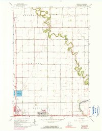
1964 Map of Dilworth
USGS Topo · Published 1990About this map
The Buffalo River meanders through the fertile landscape of Clay County, defining the borders between the townships of Kragnes, Morken, Moland, and Glyndon. This agricultural region is punctuated by a systematic network of drainage infrastructure, including County Ditch No 35 and County Ditch No 39, which supported the intensive farming of the Red River Valley. The southern portion of the map reveals the urban expansion of Moorhead and Dilworth, where the Burlington Northern railroad lines converge. Significant community landmarks are concentrated near these hubs, such as the Nursing Home and a Trailer Park. Local history is anchored by sites like the Concordia Cem Ch and the Townhall in Moland, reflecting the established rural social structure of the mid-20th century.
Find a feature on this map
24 named features on this map. Tap any name to fly to it.
Don’t see what you’re looking for? This feature index may not catch every label — zoom into the map to look around manually.
Map Details
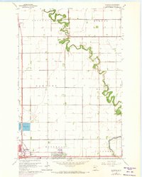
Editions of this 1964 Dilworth Map
3 editions found

Other maps of this area

1895 · Fargo
USGS Topo · 1:125,000

1897 · Fargo
USGS Topo · 1:125,000

1952 · Grand Forks
USGS Topo · 1:250,000

1953 · Fargo
USGS Topo · 1:250,000

1956 · Fargo
USGS Topo · 1:250,000

1956 · Grand Forks
USGS Topo · 1:250,000

1959 · Fargo North
USGS Topo · 1:24,000

1959 · Fargo South
USGS Topo · 1:24,000

1963 · Georgetown
USGS Topo · 1:24,000

1964 · Sabin
USGS Topo · 1:24,000
Featured Places
- Moorhead, MN
- Dilworth, MN
- Villa di Sole Mobile Park, Dilworth
- Park Lane Mobile Home Park, Dilworth
- Cottonwood Acres, Dilworth