
1959 Map of Fargo South
USGS Topo · Published 1960About this map
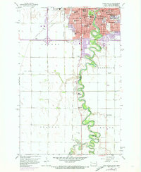
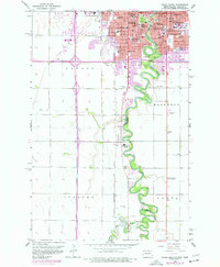
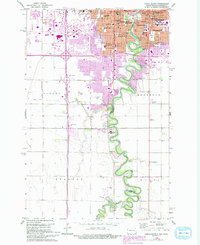
The Red River of the North winds in a tight serpentine path through this late-1950s survey, marking the state boundary between Fargo, North Dakota, and Moorhead, Minnesota. This era reveals a region in transition, where established institutional landmarks like Concordia College and the State Teachers College sit adjacent to new infrastructure, including Interstate 94 and a radio tower under construction. The landscape is densely packed with community staples, from Sacred Heart Convent and St Johns Hospital to numerous neighborhood schools such as Agassiz Sch and Hawthorne Sch.
Find a feature on this map
53 named features on this map. Tap any name to fly to it.
Don’t see what you’re looking for? This feature index may not catch every label — zoom into the map to look around manually.
Map Details
Editions of this 1959 Fargo South Map
4 editions found
Other maps of this area

1895 · Fargo
USGS Topo · 1:125,000

1897 · Fargo
USGS Topo · 1:125,000

1953 · Fargo
USGS Topo · 1:250,000

1956 · Fargo
USGS Topo · 1:250,000

1959 · Fargo North
USGS Topo · 1:24,000

1959 · South West Fargo
USGS Topo · 1:24,000

1959 · Hickson
USGS Topo · 1:24,000

1959 · West Fargo
USGS Topo · 1:24,000
1959 · Norman
USGS Topo · 1:24,000

1964 · Sabin
USGS Topo · 1:24,000