
1959 Map of West Fargo
USGS Topo · Published 1960About this map
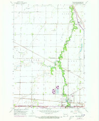
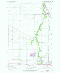
The Sheyenne River snakes through the heart of the Red River Valley, carving a lush, wooded corridor through the surrounding agricultural townships of Berlin, Harwood, Raymond, and Reed. In the late 1950s, the growing community of West Fargo and its neighbor South West Fargo were beginning to expand, with industrial and utility markers like the Radio Towers (WDAY), Sewage Disposal, and a Gaging Station dotting the landscape near the Northern Pacific tracks. Further north, the settlement of Harwood is anchored by the Harwood Sch and the Oak Wood Cem. The map illustrates a complex network of prairie waterways, including the Rush River and the Maple River confluence, alongside the vital infrastructure of the Great Northern railroad and the rural congregational center at Maple-Sheyenne Ch.
Find a feature on this map
26 named features on this map. Tap any name to fly to it.
Don’t see what you’re looking for? This feature index may not catch every label — zoom into the map to look around manually.
Map Details
Editions of this 1959 West Fargo Map
3 editions found
Other maps of this area

1895 · Fargo
USGS Topo · 1:125,000

1895 · Casselton
USGS Topo · 1:125,000

1897 · Fargo
USGS Topo · 1:125,000

1897 · Casselton
USGS Topo · 1:125,000

1952 · Grand Forks
USGS Topo · 1:250,000

1953 · Fargo
USGS Topo · 1:250,000

1956 · Fargo
USGS Topo · 1:250,000

1956 · Grand Forks
USGS Topo · 1:250,000

1959 · Fargo North
USGS Topo · 1:24,000

1959 · South West Fargo
USGS Topo · 1:24,000