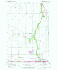
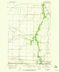
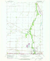
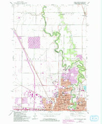
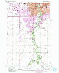
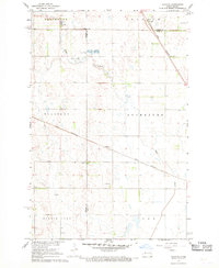
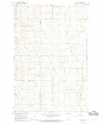
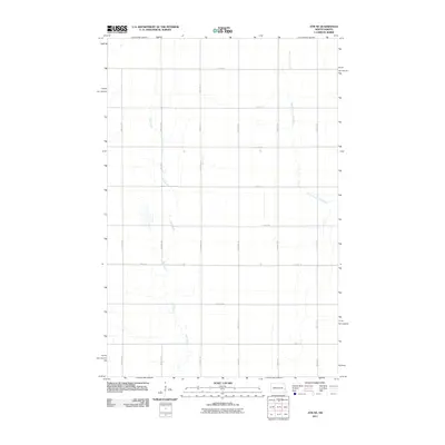
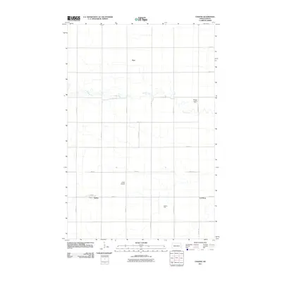
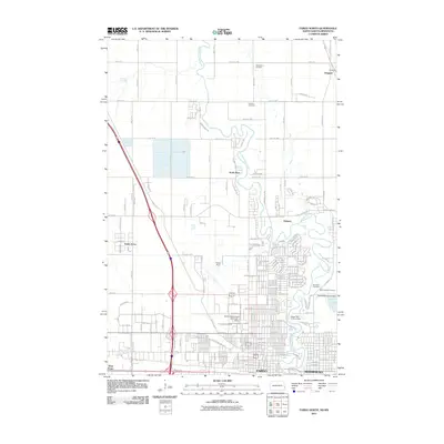
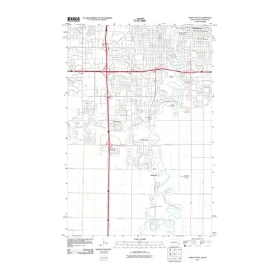
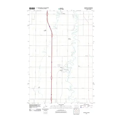
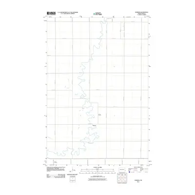
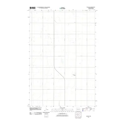
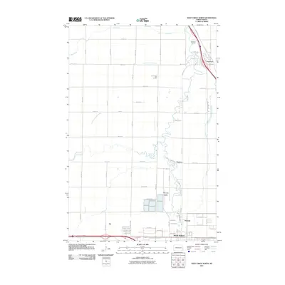
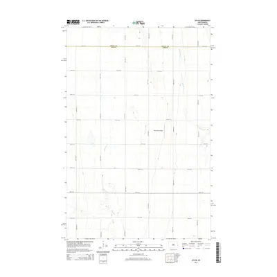
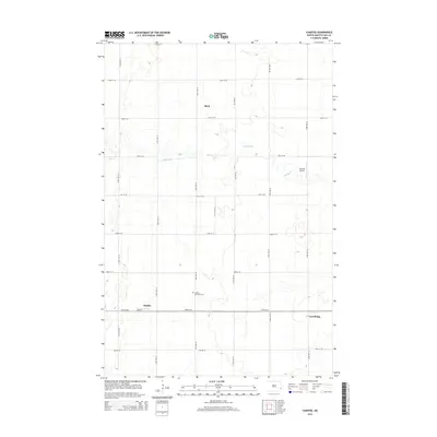
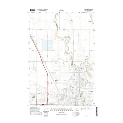
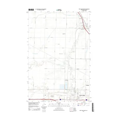
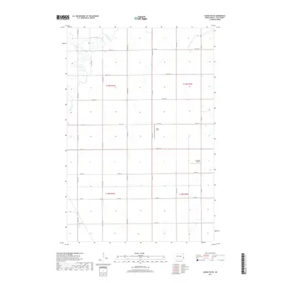
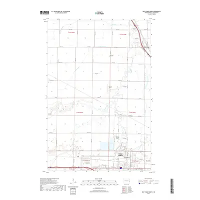
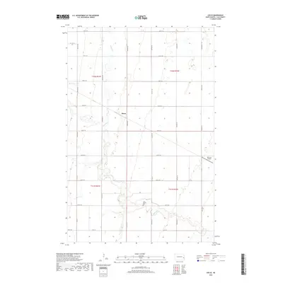
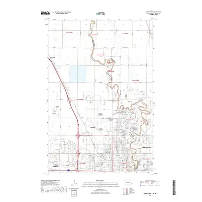
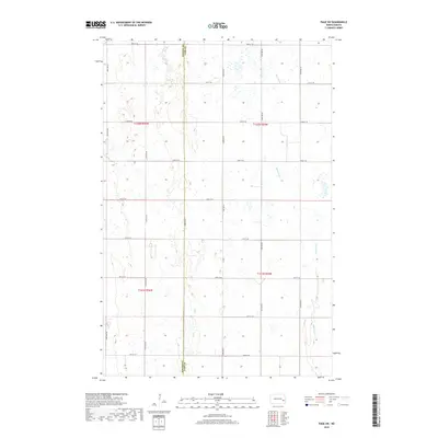
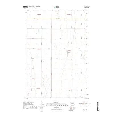
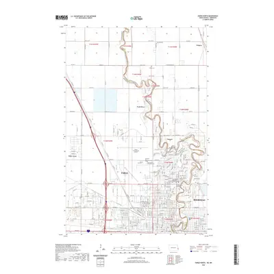
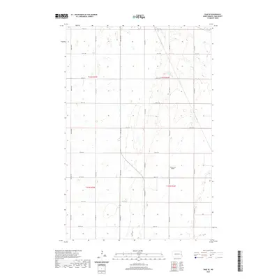
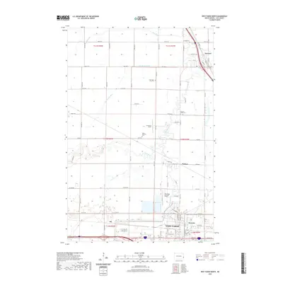
1959 Map of West Fargo North
USGS Topo · Published 1977About this map
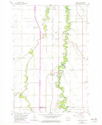
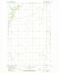
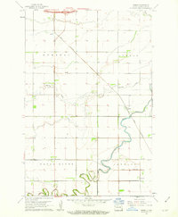
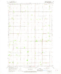
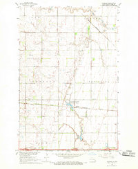
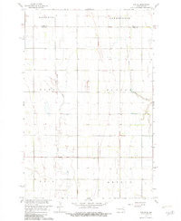
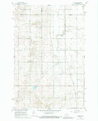
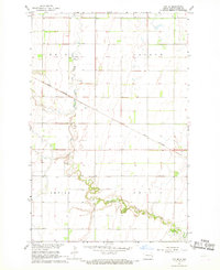
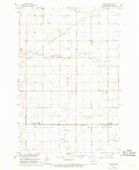
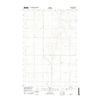
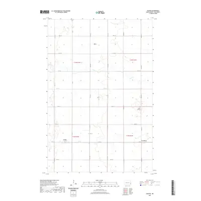
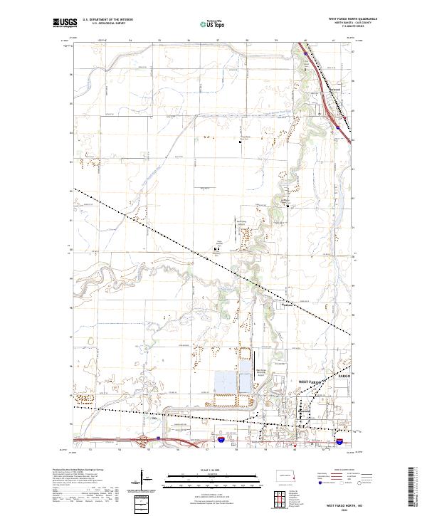
The winding Sheyenne River and its tributaries, including the Maple River and Rush River, define the landscape of this Red River Valley quadrangle. This 1959 topographical record, updated with mid-1970s transportation developments, captures the expansion of West Fargo and Riverside along the Burlington Northern rail lines. Local community landmarks are clearly marked, such as the Town Hall and the Radio Towers (WDAY) east of Jameson. The agricultural character of the surrounding townships, including Berlin and Reed, is punctuated by rural social centers like the Maple-Sheyenne Ch and schools like Harwood Sch. The map preserves the locations of several local burial grounds, including Oak Wood Cem and Lower Maple River Cem, alongside the infrastructure of the era, such as the Gaging Station and various Sewage Disposal facilities serving the growing population centers.
Find a feature on this map
31 named features on this map. Tap any name to fly to it.
Don’t see what you’re looking for? This feature index may not catch every label — zoom into the map to look around manually.
Map Details
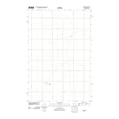
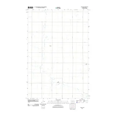
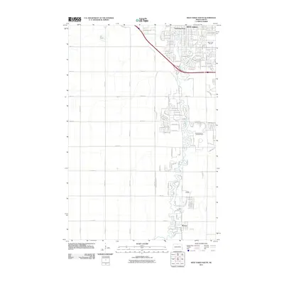
Editions of this 1959 West Fargo North Map
3 editions found
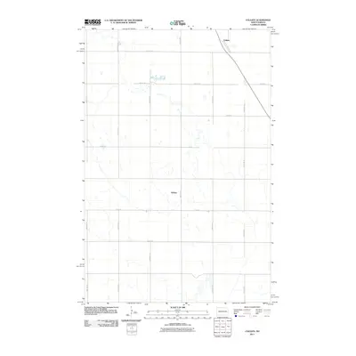
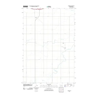
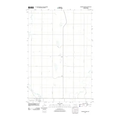
Historical Maps of Fargo Through Time
120 maps found
1959 Fargo North
Cass County, ND
1959 Fargo South
Cass County, ND
1959 Hickson
Cass County, ND
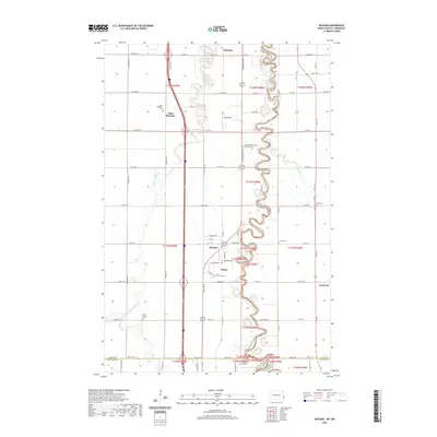
1959 Norman
Cass County, ND
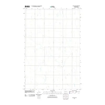
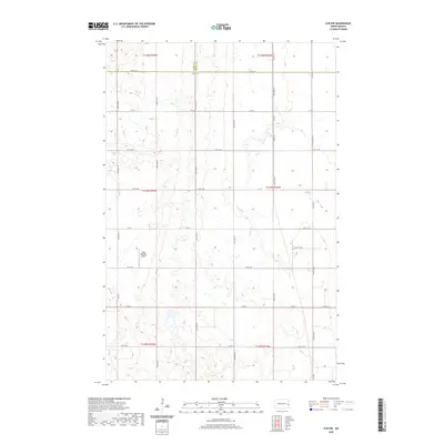
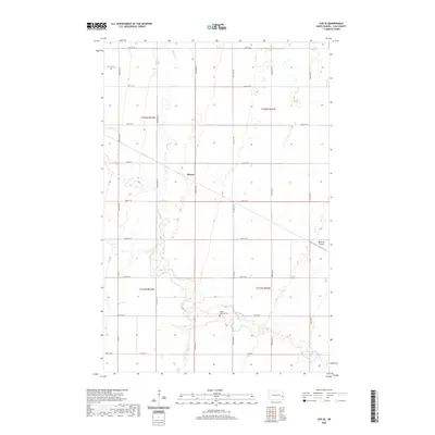
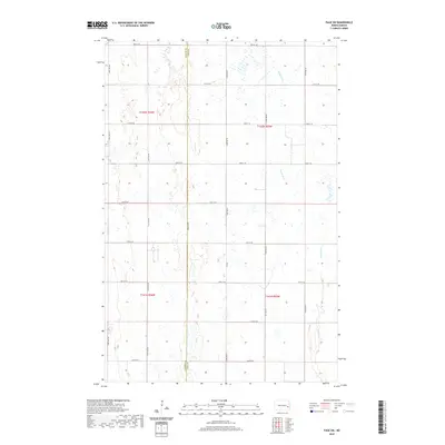
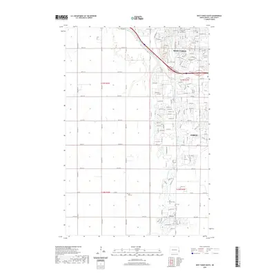
1959 West Fargo North
Cass County, ND
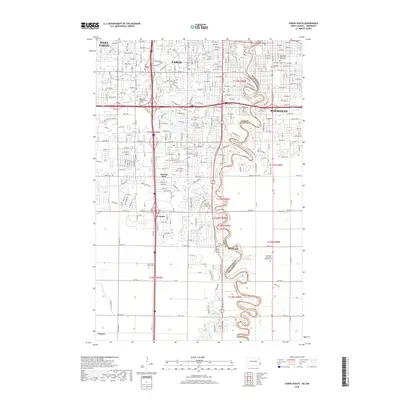
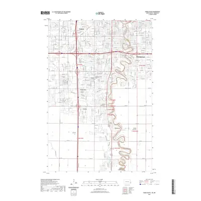
1959 West Fargo South
Cass County, ND
1961 Casselton SE
Cass County, ND
1961 Durbin
Cass County, ND

1961 Enderlin North
Cass County, ND

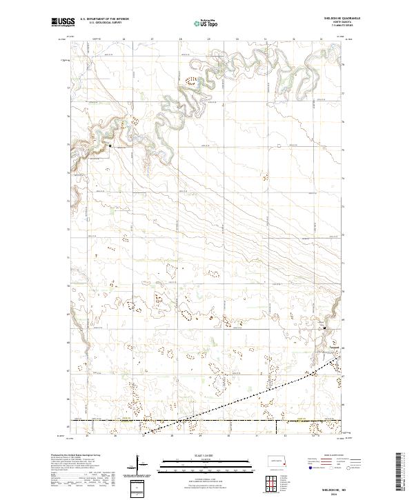
1961 Sheldon NE
Cass County, ND

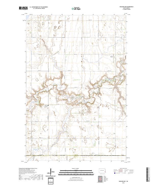
1961 Sheldon NW
Cass County, ND
1966 Arthur SE
Cass County, ND
1967 Absaraka
Cass County, ND
1967 Ayr NE
Cass County, ND
1967 Ayr NW
Cass County, ND
1967 Ayr SE
Cass County, ND
1967 Chaffee
Cass County, ND
1967 Colgate
Cass County, ND

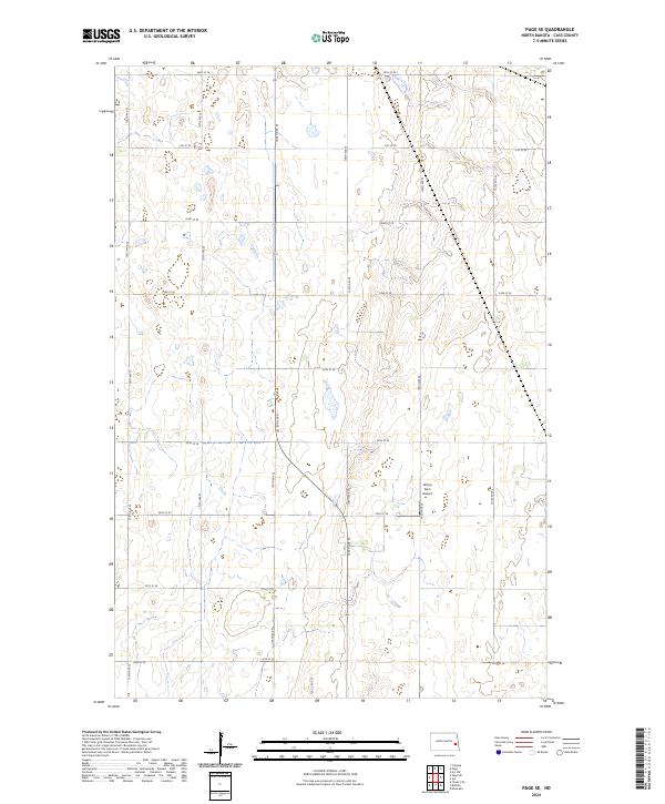
1967 Page SE
Cass County, ND
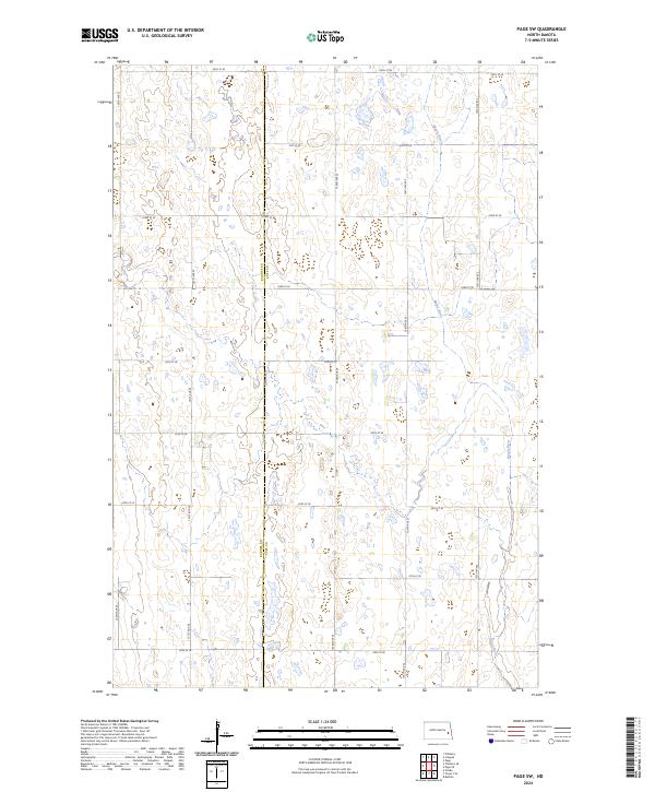
1967 Page SW
Cass County, ND
2011 Absaraka
Cass County, ND
2011 Arthur SE
Cass County, ND
2011 Ayr NE
Cass County, ND
2011 Ayr NW
Cass County, ND
2011 Ayr SE
Cass County, ND
2011 Casselton SE
Cass County, ND
2011 Chaffee
Cass County, ND
2011 Colgate
Cass County, ND
2011 Durbin
Cass County, ND
2011 Enderlin North
Cass County, ND
2011 Fargo North
Cass County, ND
2011 Fargo South
Cass County, ND
2011 Hickson
Cass County, ND
2011 Norman
Cass County, ND
2011 Page SE
Cass County, ND
2011 Page SW
Cass County, ND
2011 Sheldon NE
Cass County, ND
2011 Sheldon NW
Cass County, ND
2011 West Fargo North
Cass County, ND
2011 West Fargo South
Cass County, ND
2014 Absaraka
Cass County, ND
2014 Arthur SE
Cass County, ND
2014 Ayr NE
Cass County, ND
2014 Ayr NW
Cass County, ND
2014 Ayr SE
Cass County, ND
2014 Casselton SE
Cass County, ND
2014 Chaffee
Cass County, ND
2014 Colgate
Cass County, ND
2014 Durbin
Cass County, ND
2014 Enderlin North
Cass County, ND
2014 Fargo North
Cass County, ND
2014 Fargo South
Cass County, ND
2014 Hickson
Cass County, ND
2014 Norman
Cass County, ND
2014 Page SE
Cass County, ND
2014 Page SW
Cass County, ND
2014 Sheldon NE
Cass County, ND
2014 Sheldon NW
Cass County, ND
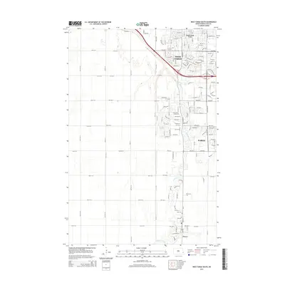
2014 West Fargo North
Cass County, ND
2014 West Fargo South
Cass County, ND
2017 Absaraka
Cass County, ND
2017 Arthur SE
Cass County, ND
2017 Casselton SE
Cass County, ND
2017 Chaffee
Cass County, ND
2017 Norman
Cass County, ND
2017 Sheldon NE
Cass County, ND
2017 West Fargo North
Cass County, ND
2017 West Fargo South
Cass County, ND
2018 Ayr NE
Cass County, ND
2018 Ayr NW
Cass County, ND
2018 Ayr SE
Cass County, ND
2018 Colgate
Cass County, ND
2018 Durbin
Cass County, ND
2018 Enderlin North
Cass County, ND
2018 Fargo North
Cass County, ND
2018 Fargo South
Cass County, ND
2018 Hickson
Cass County, ND
2018 Page SE
Cass County, ND
2018 Page SW
Cass County, ND
2018 Sheldon NW
Cass County, ND
2020 Absaraka
Cass County, ND
2020 Arthur SE
Cass County, ND
2020 Ayr NE
Cass County, ND
2020 Ayr NW
Cass County, ND
2020 Ayr SE
Cass County, ND
2020 Casselton SE
Cass County, ND
2020 Chaffee
Cass County, ND
2020 Colgate
Cass County, ND
2020 Durbin
Cass County, ND
2020 Enderlin North
Cass County, ND
2020 Fargo North
Cass County, ND
2020 Fargo South
Cass County, ND
2020 Hickson
Cass County, ND
2020 Norman
Cass County, ND
2020 Page SE
Cass County, ND
2020 Page SW
Cass County, ND
2020 Sheldon NE
Cass County, ND
2020 Sheldon NW
Cass County, ND
2020 West Fargo North
Cass County, ND
2020 West Fargo South
Cass County, ND
2024 Absaraka
Cass County, ND
2024 Arthur SE
Cass County, ND
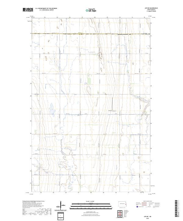
2024 Ayr NE
Cass County, ND
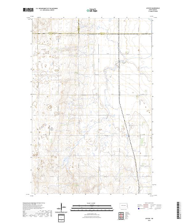
2024 Ayr NW
Cass County, ND
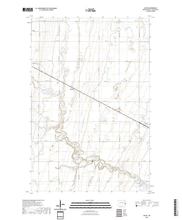
2024 Ayr SE
Cass County, ND
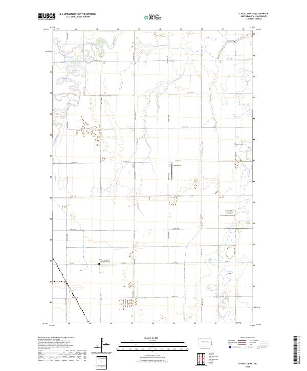
2024 Casselton SE
Cass County, ND
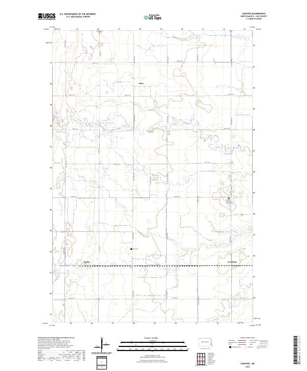
2024 Chaffee
Cass County, ND
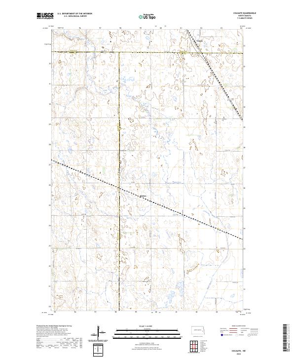
2024 Colgate
Cass County, ND
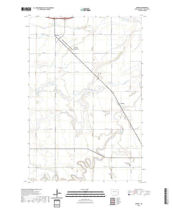
2024 Durbin
Cass County, ND
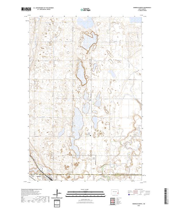
2024 Enderlin North
Cass County, ND
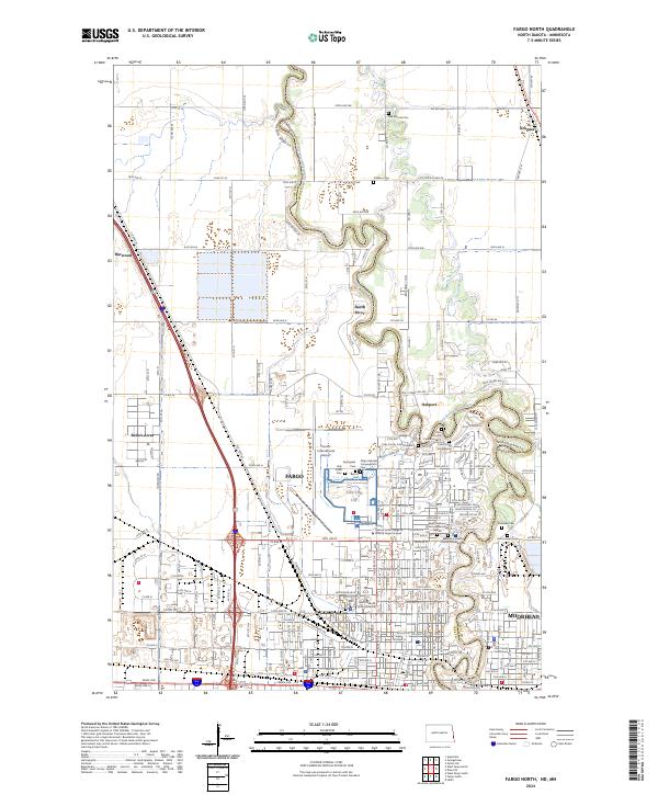
2024 Fargo North
Cass County, ND
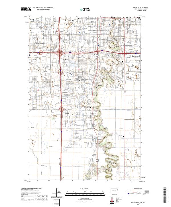
2024 Fargo South
Cass County, ND
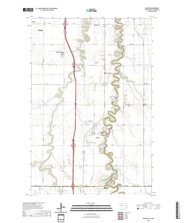
2024 Hickson
Cass County, ND
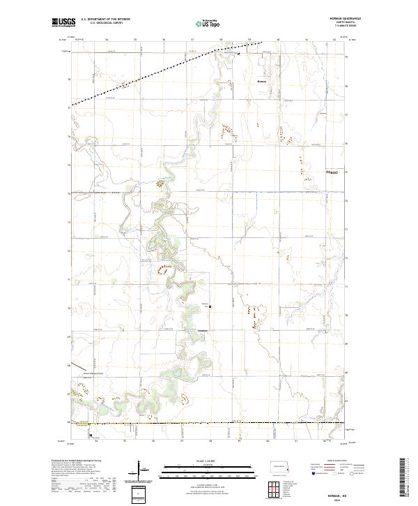
2024 Norman
Cass County, ND
2024 Page SE
Cass County, ND
2024 Page SW
Cass County, ND
2024 Sheldon NE
Cass County, ND
2024 Sheldon NW
Cass County, ND
2024 West Fargo North
Cass County, ND
2024 West Fargo South
Cass County, ND