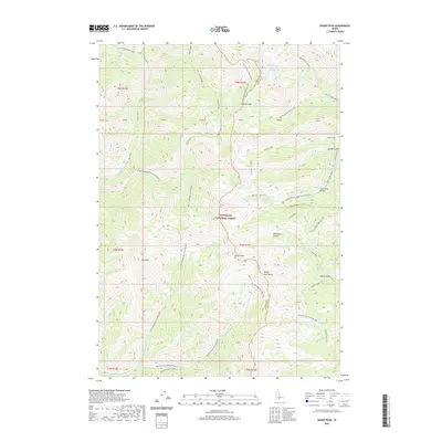
2020 Map of Baker Peak
USGS Topo · Published 2020About this map
Sawtooth National Forest encompasses this high-elevation landscape within the Smoky Mountains, where the boundary between Camas and Blaine counties follows the primary drainage divides. The terrain is defined by prominent summits like Baker Peak and Big Peak, which serve as the headwaters for numerous alpine streams. A complex network of water bodies, including Prairie Lakes, Smoky Lake, and Big Lost Lake, dot the northern basins, while the deep cut of Royal Gorge marks the central drainages. Human passage through this wilderness is traced by historic routes like Baker Creek Rd and backcountry paths such as the Osberg Ridgeline Trail and Placer Creek Trail. The map reveals the intricate hydrography of the region, from the W Fork Big Smoky Creek to the Left Fork Placer Cr, illustrating how the geography dictates movement and resource management in the Idaho high country.
Find a feature on this map
54 named features on this map. Tap any name to fly to it.
Don’t see what you’re looking for? This feature index may not catch every label — zoom into the map to look around manually.
Map Details
Editions of this 2020 Baker Peak Map
This is the sole edition of this map. No revisions or reprints were ever made.
Other maps of this area

1900 · Sawtooth
USGS Topo · 1:125,000

1955 · Hailey
USGS Topo · 1:250,000

1959 · Hailey
USGS Topo · 1:250,000

1962 · Hailey
USGS Topo · 1:250,000

1964 · Frenchman Creek
USGS Topo · 1:24,000

1970 · Sydney Butte
USGS Topo · 1:24,000

1970 · Paradise Peak
USGS Topo · 1:24,000
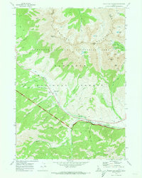
1970 · Easley Hot Springs
USGS Topo · 1:24,000

1970 · Dollarhide Mtn
USGS Topo · 1:24,000
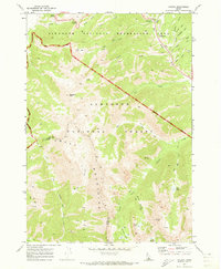
1970 · Galena
USGS Topo · 1:24,000