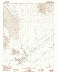
1983 Map of Baker
USGS Topo · Published 1985About this map
The settlement of Baker serves as a critical junction in the High Desert, situated where the interstate corridor meets the path to Death Valley. This 1983 survey illustrates a landscape defined by aridity and infrastructure, dominated by the expansive dry basins of Silver Lake and Soda Lake. The presence of an Old Railroad Grade running along the western edge of the silver lakebed marks the former path of the Tonopah and Tidewater Railroad, which once connected these remote basins to larger mining networks. Industrial and utility footprints are evident through several Borrow Pits, Prospects, and an Underground Pipe Line. Local services for travelers and residents are concentrated around the Baker Airport and the town center, while a small Cem and a nearby Ruin provide evidence of earlier desert habitation and the harsh realities of life in the Mojave.
Find a feature on this map
26 named features on this map. Tap any name to fly to it.
Don’t see what you’re looking for? This feature index may not catch every label — zoom into the map to look around manually.
Map Details
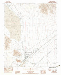
Editions of this 1983 Baker Map
2 editions found
Other maps of this area

1910 · Ivanpah
USGS Topo · 1:250,000

1912 · Ivanpah
USGS Topo · 1:250,000

1933 · Avawatz Mountains
USGS Topo · 1:250,000

1942 · Ivanpah
USGS Topo · 1:250,000

1947 · Trona
USGS Topo · 1:250,000

1947 · Kingman
USGS Topo · 1:250,000

1948 · Kingman
USGS Topo · 1:250,000

1948 · Trona
USGS Topo · 1:250,000

1953 · Trona
USGS Topo · 1:250,000

1954 · Kingman
USGS Topo · 1:250,000