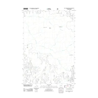
2011 Map of Bald Top Mountain
USGS Topo · Published 2011About this map
Bald Top Mountain anchors this high-elevation landscape in Ravalli County, where the Bitterroot National Forest terrain is defined by an intricate network of drainages and small-scale resource extraction. The map documents industrial activity at the Crystal Mountain Mine and the SW SE Section 15 Mine, reflecting the region's enduring mining heritage. These sites sit amidst a complex hydrology where Sleeping Child Creek and Two Bear Creek carve through the mountainside.
Find a feature on this map
16 named features on this map. Tap any name to fly to it.
Don’t see what you’re looking for? This feature index may not catch every label — zoom into the map to look around manually.
Map Details
Editions of this 2011 Bald Top Mountain Map
This is the sole edition of this map. No revisions or reprints were ever made.
Other maps of this area

1901 · Hamilton
USGS Topo · 1:125,000

1909 · Sapphire
USGS Topo · 1:125,000

1947 · Butte
USGS Topo · 1:250,000

1955 · Dillon
USGS Topo · 1:250,000

1956 · Elk City
USGS Topo · 1:250,000

1956 · Hamilton
USGS Topo · 1:250,000

1957 · Dillon
USGS Topo · 1:250,000

1958 · Butte
USGS Topo · 1:250,000

1958 · Dillon
USGS Topo · 1:250,000

1959 · Hamilton
USGS Topo · 1:250,000