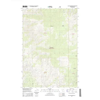
2017 Map of Bald Top Mountain
USGS Topo · Published 2017About this map
Bitterroot National Forest defines this high-elevation landscape in Ravalli County, dominated by the prominent peak of Bald Top Mountain. The terrain is characterized by a complex network of drainages including Sleeping-Child Creek and Two-Bear Creek, which carve through the heavily forested interior. Of particular interest to those studying local land use are the named clearings and high-country meadows like Two Bear Meadows and Barnett Meadows, which provide natural openings in the otherwise dense timber.
Find a feature on this map
31 named features on this map. Tap any name to fly to it.
Don’t see what you’re looking for? This feature index may not catch every label — zoom into the map to look around manually.
Map Details
Editions of this 2017 Bald Top Mountain Map
This is the sole edition of this map. No revisions or reprints were ever made.
Other maps of this area

1901 · Hamilton
USGS Topo · 1:125,000

1909 · Sapphire
USGS Topo · 1:125,000

1947 · Butte
USGS Topo · 1:250,000

1955 · Dillon
USGS Topo · 1:250,000

1956 · Elk City
USGS Topo · 1:250,000

1956 · Hamilton
USGS Topo · 1:250,000

1957 · Dillon
USGS Topo · 1:250,000

1958 · Butte
USGS Topo · 1:250,000

1958 · Dillon
USGS Topo · 1:250,000

1959 · Hamilton
USGS Topo · 1:250,000