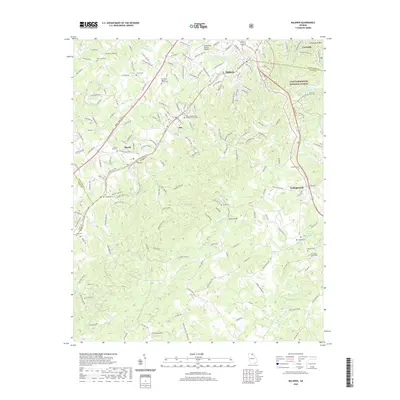
2020 Map of Baldwin
USGS Topo · Published 2020About this map
The Hudson River and Little Mud Cr define the rolling landscape of this Northeast Georgia corridor, where the settlements of Cornelia, Baldwin, and Alto follow the high ground along the railway and highway routes. This modern survey illustrates a densely patterned community structure, where numerous family and community burial grounds such as Mud Creek Cem, Wade Cem, and Shirley Cem are tucked between rural roads and residential developments.
Find a feature on this map
178 named features on this map. Tap any name to fly to it.
Don’t see what you’re looking for? This feature index may not catch every label — zoom into the map to look around manually.
Map Details
Editions of this 2020 Baldwin Map
This is the sole edition of this map. No revisions or reprints were ever made.
Other maps of this area

1886 · Dahlonega
USGS Topo · 1:125,000

1886 · Walhalla
USGS Topo · 1:125,000

1891 · Gainesville
USGS Topo · 1:125,000

1891 · Carnesville
USGS Topo · 1:125,000

1892 · Dahlonega
USGS Topo · 1:125,000

1892 · Walhalla
USGS Topo · 1:125,000

1896 · Walhalla
USGS Topo · 1:125,000

1896 · Dahlonega
USGS Topo · 1:125,000

1903 · Dahlonega
USGS Topo · 1:125,000

1954 · Greenville
USGS Topo · 1:250,000