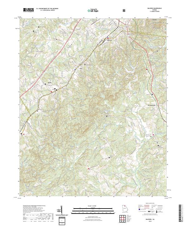
2024 Map of Baldwin
USGS Topo · Published 2024About this map
Baldwin and Alto sit at the triple junction of Habersham, Hall, and Banks counties, where the industrial and aviation hubs of the upper Piedmont meet the foothills of the Chattahoochee National Forest. The Norfolk Southern railroad serves as the primary spine for these communities, following the high ground near Chenocetah Mtn. This corridor is dense with local heritage sites, particularly nineteenth and twentieth-century burial grounds such as the B C Grant Baptist Church Cem and the Old Mud Creek Cem.
Find a feature on this map
193 named features on this map. Tap any name to fly to it.
Don’t see what you’re looking for? This feature index may not catch every label — zoom into the map to look around manually.
Map Details
Editions of this 2024 Baldwin Map
This is the sole edition of this map. No revisions or reprints were ever made.
Other maps of this area

1886 · Dahlonega
USGS Topo · 1:125,000

1886 · Walhalla
USGS Topo · 1:125,000

1891 · Gainesville
USGS Topo · 1:125,000

1891 · Carnesville
USGS Topo · 1:125,000

1892 · Dahlonega
USGS Topo · 1:125,000

1892 · Walhalla
USGS Topo · 1:125,000

1896 · Walhalla
USGS Topo · 1:125,000

1896 · Dahlonega
USGS Topo · 1:125,000

1903 · Dahlonega
USGS Topo · 1:125,000

1954 · Greenville
USGS Topo · 1:250,000