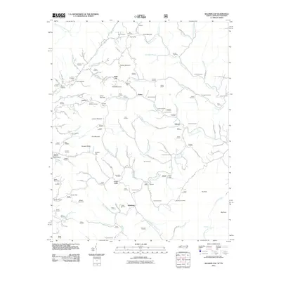
2011 Map of Baldwin Gap
USGS Topo · Published 2011About this map
Pond Mountain and The Peak dominate this high-elevation landscape along the North Carolina and Tennessee border, where the headwaters of the North Fork New River begin their descent. Small mountain communities like Ashland, Sutherland, and Green Valley are centers of gravity in a terrain defined by deep hollows and high ridges. The map reveals a highly localized pattern of social history, with family-named landmarks such as Catface Mountain and Leander Mountain alongside a remarkable density of family burial grounds.
Find a feature on this map
137 named features on this map. Tap any name to fly to it.
Don’t see what you’re looking for? This feature index may not catch every label — zoom into the map to look around manually.
Map Details
Editions of this 2011 Baldwin Gap Map
This is the sole edition of this map. No revisions or reprints were ever made.
Other maps of this area

1891 · Abingdon
USGS Topo · 1:125,000

1893 · Cranberry
USGS Topo · 1:125,000

1894 · Abingdon
USGS Topo · 1:125,000

1895 · Cranberry
USGS Topo · 1:125,000

1899 · Cranberry
USGS Topo · 1:125,000

1902 · Cranberry
USGS Topo · 1:125,000

1909 · Abingdon
USGS Topo · 1:96,000

1911 · Abingdon
USGS Topo · 1:125,000

1935 · Grayson
USGS Topo · 1:24,000

1935 · Park
USGS Topo · 1:24,000