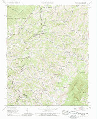
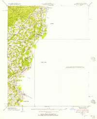
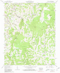
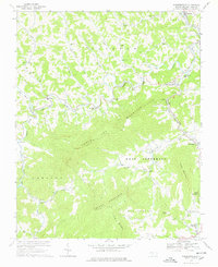
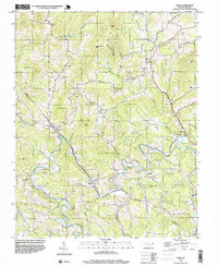
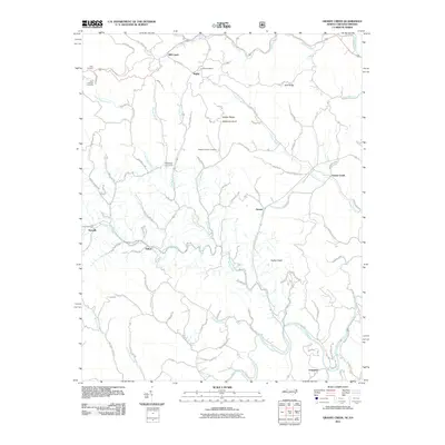
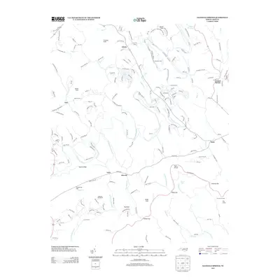
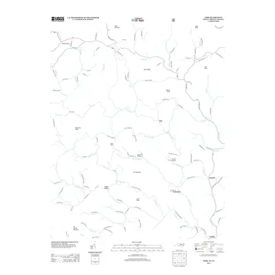
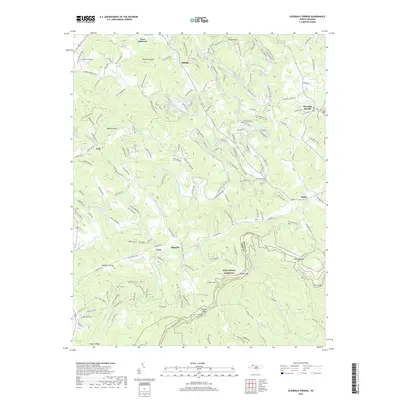
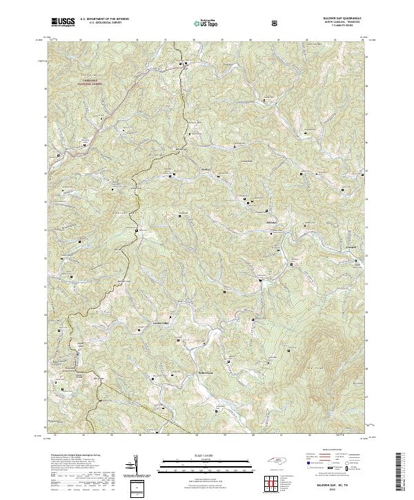
1959 Map of Baldwin Gap
USGS Topo · Published 1987About this map
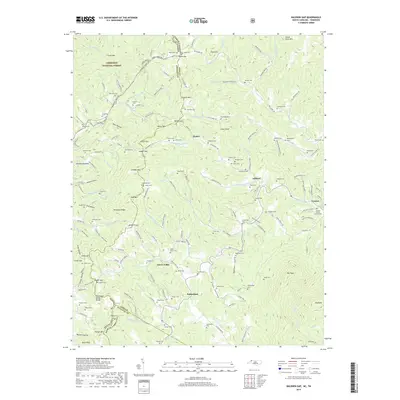
Stone Mountain and the North Fork of the New River define this mid-century portrait of the high country straddling the North Carolina and Tennessee border. The landscape is dotted with small, creek-side communities such as Creston, Sutherland, and Ashland, where the settlement pattern follows the narrow valleys of North Fork New River and its numerous tributaries. Life here in the late 1950s centered around local institutions like Hammon Chapel, Rock Creek Methodist Church, and the Forge Sch, with dozens of family burial grounds including Sutherland Cem and Graybeal Cem providing deep roots for genealogists.
Find a feature on this map
140 named features on this map. Tap any name to fly to it.
Don’t see what you’re looking for? This feature index may not catch every label — zoom into the map to look around manually.
Map Details
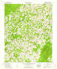
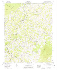
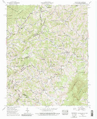
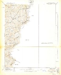
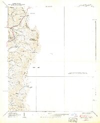
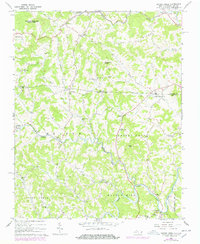
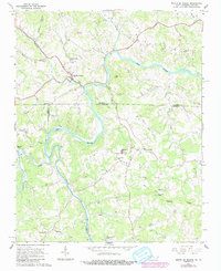
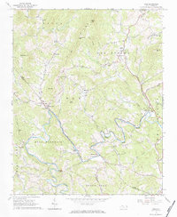
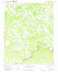
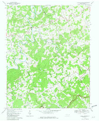
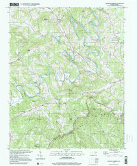
Editions of this 1959 Baldwin Gap Map
4 editions found
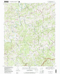
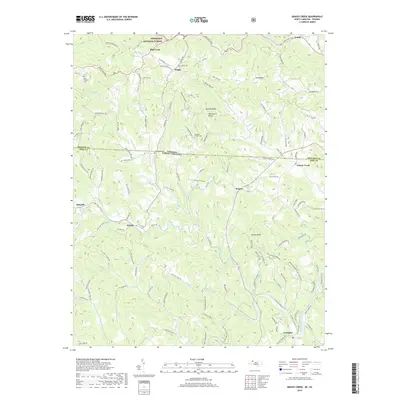
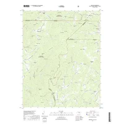
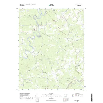
Historical Maps of Willen Gap Through Time
59 maps found

1935 Baldwin Gap
Ashe County, NC

1935 Park
Ashe County, NC

1935 Zionville
Ashe County, NC
1938 Baldwin Gap
Ashe County, NC
1939 Baldwin Gap
Ashe County, NC
1939 Zionville
Ashe County, NC
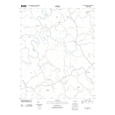
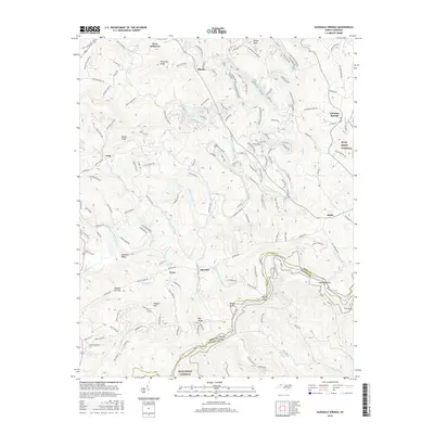
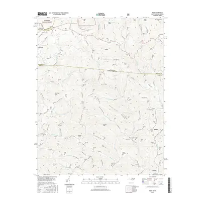
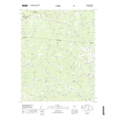
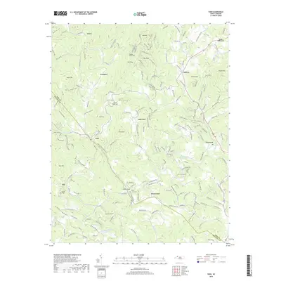
1959 Baldwin Gap
Ashe County, NC
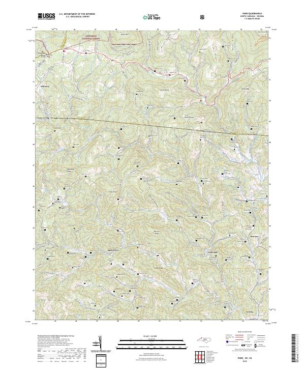
1959 Park
Ashe County, NC
1959 Zionville
Ashe County, NC
1966 Grassy Creek
Ashe County, NC
1966 Mouth Of Wilson
Ashe County, NC
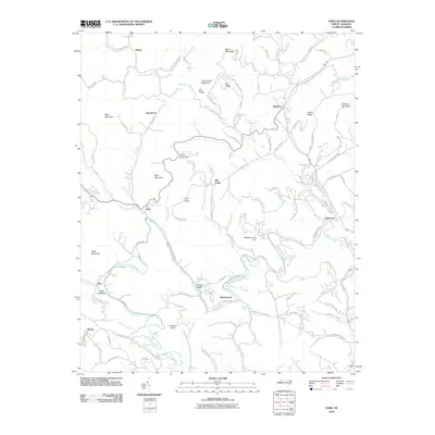
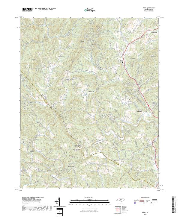
1966 Todd
Ashe County, NC
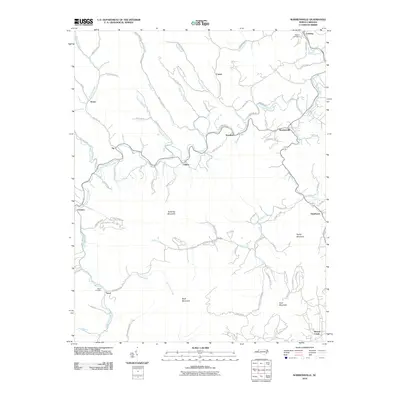
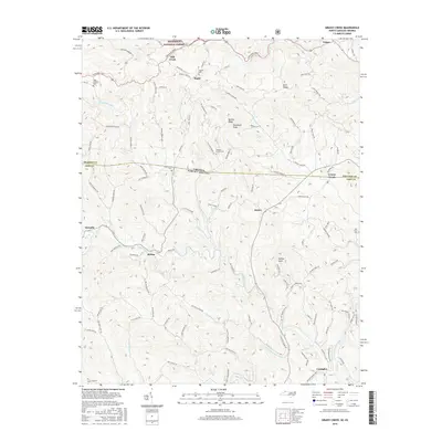
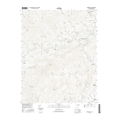
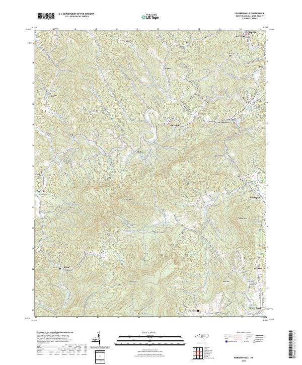
1966 Warrensville
Ashe County, NC
1967 Glendale Springs
Ashe County, NC
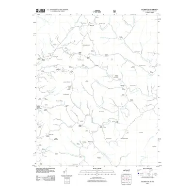
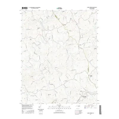
1968 Laurel Springs
Ashe County, NC
1996 Laurel Springs
Ashe County, NC
1998 Todd
Ashe County, NC
2000 Glendale Springs
Ashe County, NC
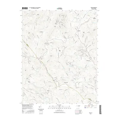
2003 Baldwin Gap
Ashe County, NC
2010 Glendale Springs
Ashe County, NC
2010 Laurel Springs
Ashe County, NC
2010 Todd
Ashe County, NC
2010 Warrensville
Ashe County, NC
2011 Baldwin Gap
Ashe County, NC
2011 Grassy Creek
Ashe County, NC
2011 Grayson
Ashe County, NC
2011 Park
Ashe County, NC
2013 Baldwin Gap
Ashe County, NC
2013 Glendale Springs
Ashe County, NC
2013 Grassy Creek
Ashe County, NC
2013 Grayson
Ashe County, NC
2013 Laurel Springs
Ashe County, NC
2013 Park
Ashe County, NC
2013 Todd
Ashe County, NC
2013 Warrensville
Ashe County, NC
2016 Baldwin Gap
Ashe County, NC
2016 Glendale Springs
Ashe County, NC
2016 Grassy Creek
Ashe County, NC
2016 Grayson
Ashe County, NC
2016 Laurel Springs
Ashe County, NC
2016 Park
Ashe County, NC
2016 Todd
Ashe County, NC
2016 Warrensville
Ashe County, NC
2019 Baldwin Gap
Ashe County, NC
2019 Glendale Springs
Ashe County, NC
2019 Grassy Creek
Ashe County, NC
2019 Grayson
Ashe County, NC
2019 Laurel Springs
Ashe County, NC
2019 Park
Ashe County, NC
2019 Todd
Ashe County, NC
2019 Warrensville
Ashe County, NC
2022 Baldwin Gap
Ashe County, NC
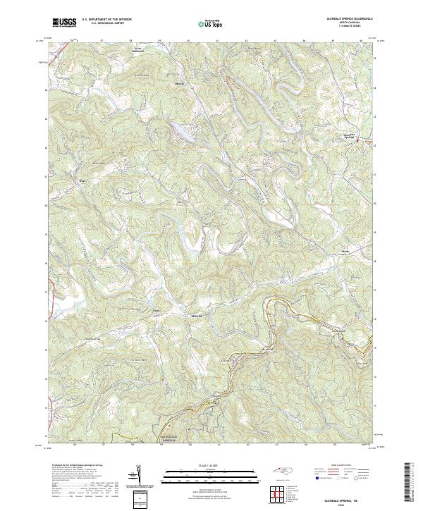
2022 Glendale Springs
Ashe County, NC
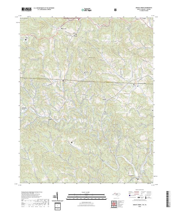
2022 Grassy Creek
Ashe County, NC
2022 Grayson
Ashe County, NC
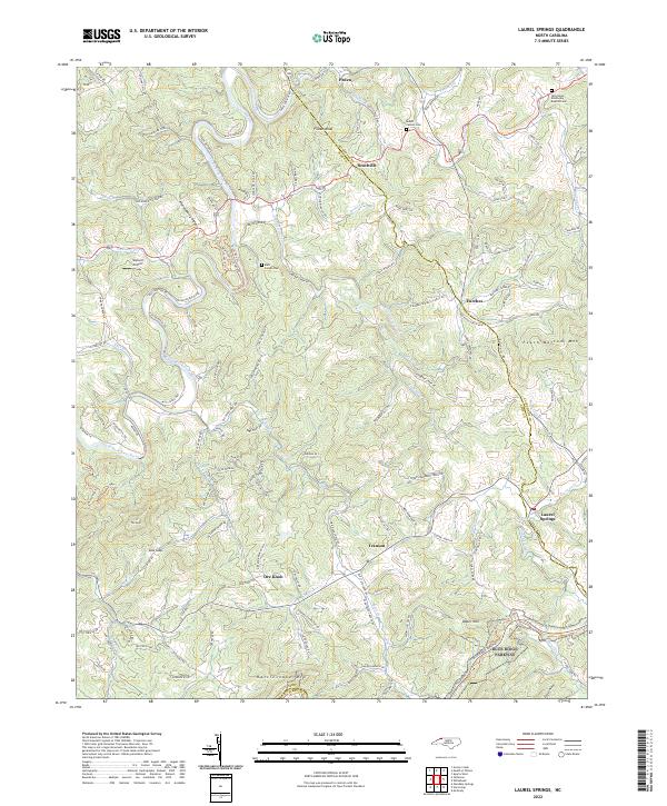
2022 Laurel Springs
Ashe County, NC
2022 Park
Ashe County, NC
2022 Todd
Ashe County, NC
2022 Warrensville
Ashe County, NC