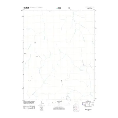
2011 Map of Baldy Cinco
USGS Topo · Published 2011About this map
Baldy Cinco rises as a prominent landmark in this high-altitude landscape, overlooking the expansive terrain of Snow Mesa and the headwaters of several major drainages. The map reveals an intricate alpine hydrological network, where Mineral Creek and its various branches—West Mineral Creek, Middle Mineral Creek, and East Mineral Creek—converge to the north. To the south, the terrain descends toward Table Mountain, where the waters of Crystal Lake flow into Shallow Creek.
Find a feature on this map
21 named features on this map. Tap any name to fly to it.
Don’t see what you’re looking for? This feature index may not catch every label — zoom into the map to look around manually.
Map Details
Editions of this 2011 Baldy Cinco Map
This is the sole edition of this map. No revisions or reprints were ever made.
Other maps of this area

1905 · San Cristobal
USGS Topo · 1:125,000

1907 · San Cristobal
USGS Topo · 1:125,000

1908 · Uncompahgre
USGS Topo · 1:125,000

1911 · Uncompahgre
USGS Topo · 1:125,000

1914 · Creede
USGS Topo · 1:125,000

1916 · Creede
USGS Topo · 1:125,000

1945 · Durango
USGS Topo · 1:250,000

1953 · Durango
USGS Topo · 1:250,000

1954 · Durango
USGS Topo · 1:250,000

1956 · Montrose
USGS Topo · 1:250,000