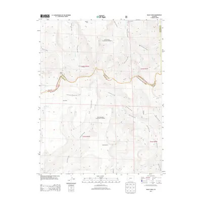
2013 Map of Baldy Cinco
USGS Topo · Published 2013About this map
Baldy Cinco rises as a prominent landmark along the high-elevation boundary between Hinsdale, Mineral, and Saguache counties, anchoring a landscape defined by its alpine plateaus and extensive trail networks. This 2013 survey documents a remote wilderness where the Continental Divide National Scenic Trail traverses the expansive Snow Mesa and moves toward Table Mountain. The map reveals a complex system of Forest Service routes, including the Rough Creek Trail and Skyline Trail, which provide access to high-country basins and the headwaters of numerous creeks.
Find a feature on this map
33 named features on this map. Tap any name to fly to it.
Don’t see what you’re looking for? This feature index may not catch every label — zoom into the map to look around manually.
Map Details
Editions of this 2013 Baldy Cinco Map
This is the sole edition of this map. No revisions or reprints were ever made.
Other maps of this area

1905 · San Cristobal
USGS Topo · 1:125,000

1907 · San Cristobal
USGS Topo · 1:125,000

1908 · Uncompahgre
USGS Topo · 1:125,000

1911 · Uncompahgre
USGS Topo · 1:125,000

1914 · Creede
USGS Topo · 1:125,000

1916 · Creede
USGS Topo · 1:125,000

1945 · Durango
USGS Topo · 1:250,000

1953 · Durango
USGS Topo · 1:250,000

1954 · Durango
USGS Topo · 1:250,000

1956 · Montrose
USGS Topo · 1:250,000