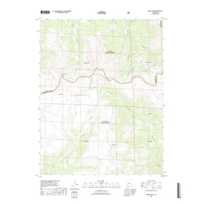
2019 Map of Baldy Cinco
USGS Topo · Published 2019About this map
The Continental Divide National Scenic Trail winds across this high-elevation landscape, tracing the border between the Gunnison National Forest and the Rio Grande National Forest. This section of the San Juan Mountains is defined by prominent peaks and expansive plateaus, most notably Baldy Cinco and the broad expanse of Snow Mesa. The hydrography of the region is complex, with numerous drainages such as Mineral Cr, Rough Cr, and Willow Cr flowing from the divide.
Find a feature on this map
35 named features on this map. Tap any name to fly to it.
Don’t see what you’re looking for? This feature index may not catch every label — zoom into the map to look around manually.
Map Details
Editions of this 2019 Baldy Cinco Map
This is the sole edition of this map. No revisions or reprints were ever made.
Other maps of this area

1905 · San Cristobal
USGS Topo · 1:125,000

1907 · San Cristobal
USGS Topo · 1:125,000

1908 · Uncompahgre
USGS Topo · 1:125,000

1911 · Uncompahgre
USGS Topo · 1:125,000

1914 · Creede
USGS Topo · 1:125,000

1916 · Creede
USGS Topo · 1:125,000

1945 · Durango
USGS Topo · 1:250,000

1953 · Durango
USGS Topo · 1:250,000

1954 · Durango
USGS Topo · 1:250,000

1956 · Montrose
USGS Topo · 1:250,000