Loading...
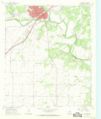
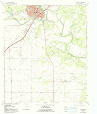
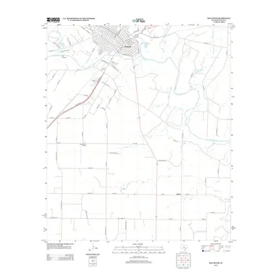
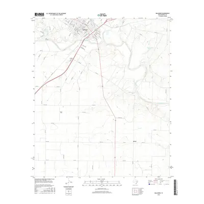
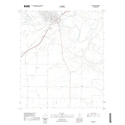
Loading map...1967 Map of Ballinger
USGS Topo · Published 1970About this map
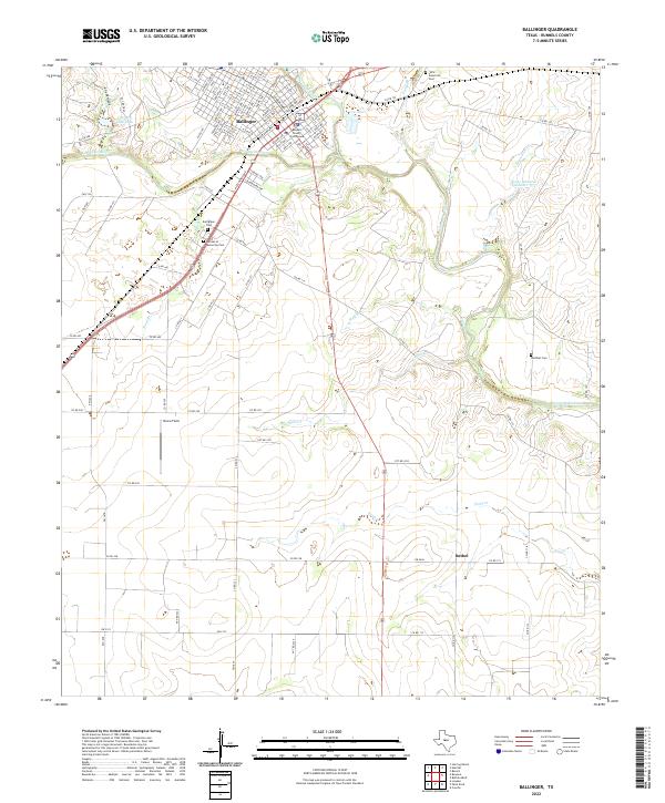
The Colorado River winds through the heart of Runnels County, serving as the southern boundary for the developed grid of Ballinger. This late-1960s landscape shows a well-established regional hub supported by the Atchison Topeka and Santa Fe railroad, which cuts diagonally through the terrain. Civic life is centered around the Courthouse, City Hall, and Po, while the presence of the Carver Sch and Evergreen Cem provides specific points of interest for genealogists tracing local families.
Find a feature on this map
31 named features on this map. Tap any name to fly to it.
Don’t see what you’re looking for? This feature index may not catch every label — zoom into the map to look around manually.
Map Details
Date Portrayed1967
Date Published1970
PublisherU.S. Geological Survey
Map TypeTopographic
Scale1:24,000
Physical Dimensions23 x 27 inches
Editions of this 1967 Ballinger Map
2 editions found
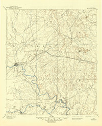
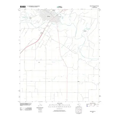
Historical Maps of Ballinger Through Time
7 maps found
Featured Locations
Source Details
SourceU.S. Geological Survey
CopyrightPublic Domain