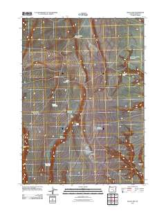
2011 Map of Balls Lake
USGS Topo · Published 2011About this map
Water management and cattle ranching structures define this high-desert portion of Harney County, seen here in the early 21st century. The landscape is dotted with essential infrastructure for survival in a dry environment, including numerous catchments like Pickett Spring Reservoir, North Loggerhead Reservoir, and Hartman Reservoir. These man-made features, alongside natural points such as Loggerhead Spring and Duayne Spring, highlight the critical importance of every water source for local livestock operations.
Find a feature on this map
17 named features on this map. Tap any name to fly to it.
Don’t see what you’re looking for? This feature index may not catch every label — zoom into the map to look around manually.
Map Details
Editions of this 2011 Balls Lake Map
This is the sole edition of this map. No revisions or reprints were ever made.
Other maps of this area

1955 · Burns
USGS Topo · 1:250,000

1955 · Adel
USGS Topo · 1:250,000

1957 · Adel
USGS Topo · 1:250,000

1958 · Burns
USGS Topo · 1:250,000

1958 · Adel
USGS Topo · 1:250,000

1959 · Burns
USGS Topo · 1:250,000

1962 · Adel
USGS Topo · 1:250,000

1971 · Clover Swale
USGS Topo · 1:24,000

1971 · Steamboat Point
USGS Topo · 1:24,000

1971 · Orejana Canyon
USGS Topo · 1:24,000