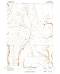
1971 Map of Balls Lake
USGS Topo · Published 1974About this map
Water management in the high desert of Harney County defines this 1971 landscape, where small-scale infrastructure supports livestock in a land of canyons and dry basins. The topography is dominated by dramatic depressions and rimrock, notably The Basin and the steep Orejana Rim, which overlooks Orejano Can. Remote human presence is marked by isolated landmarks like Denis Cabin and the Foot of the Trail Corral, indicating the area's history as rangeland.
Find a feature on this map
27 named features on this map. Tap any name to fly to it.
Don’t see what you’re looking for? This feature index may not catch every label — zoom into the map to look around manually.
Map Details
Editions of this 1971 Balls Lake Map
This is the sole edition of this map. No revisions or reprints were ever made.
Other maps of this area

1955 · Burns
USGS Topo · 1:250,000

1955 · Adel
USGS Topo · 1:250,000

1957 · Adel
USGS Topo · 1:250,000

1958 · Burns
USGS Topo · 1:250,000

1958 · Adel
USGS Topo · 1:250,000

1959 · Burns
USGS Topo · 1:250,000

1962 · Adel
USGS Topo · 1:250,000

1971 · Clover Swale
USGS Topo · 1:24,000

1971 · Steamboat Point
USGS Topo · 1:24,000

1971 · Orejana Canyon
USGS Topo · 1:24,000