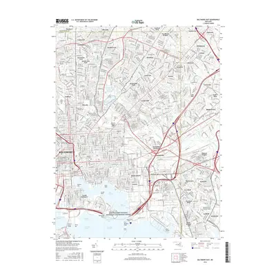
2016 Map of Baltimore East
USGS Topo · Published 2016About this map
Fort McHenry National Monument and Historic Shrine guards the harbor entrance at Whetstone Point, anchoring the industrial and maritime landscape of the mid-2010s. The eastern reaches of Baltimore are defined by an intricate network of historical neighborhoods and massive cemetery complexes, including the sprawling Baltimore Cemetery and Most Holy Redeemer Cemetery. The shoreline reveals a heavy reliance on the water, with the West Channel and East Channel flanking Locust Point and the busy docks of Fells Point.
Find a feature on this map
298 named features on this map. Tap any name to fly to it.
Don’t see what you’re looking for? This feature index may not catch every label — zoom into the map to look around manually.
Map Details
Editions of this 2016 Baltimore East Map
This is the sole edition of this map. No revisions or reprints were ever made.
Other maps of this area

1893 · North Point
USGS Topo · 1:62,500

1893 · Gunpowder
USGS Topo · 1:62,500

1894 · Baltimore
USGS Topo · 1:62,500

1894 · Relay
USGS Topo · 1:62,500

1898 · Tolchester
USGS Topo · 1:125,000

1899 · Baltimore
USGS Topo · 1:62,500

1901 · Gunpowder
USGS Topo · 1:62,500

1903 · Tolchester
USGS Topo · 1:125,000

1904 · Baltimore
USGS Topo · 1:62,500

1904 · North Point
USGS Topo · 1:62,500