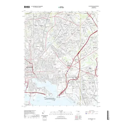
2019 Map of Baltimore East
USGS Topo · Published 2019About this map
Fort McHenry National Monument and Historic Shrine stands as the sentinel of the Inner Harbor, marking the strategic point where the West Channel and East Channel converge into the Chesapeake Bay. This modern survey reveals the dense urban grid of Baltimore and its established suburbs, reflecting a landscape defined by centuries of growth and industrial activity. The map is particularly rich for genealogical research, documenting numerous burial grounds such as the Westminster Burying Grounds, Gardens of Faith Memorial Gardens, and the Most Holy Redeemer Cem.
Find a feature on this map
96 named features on this map. Tap any name to fly to it.
Don’t see what you’re looking for? This feature index may not catch every label — zoom into the map to look around manually.
Map Details
Editions of this 2019 Baltimore East Map
This is the sole edition of this map. No revisions or reprints were ever made.
Other maps of this area

1893 · North Point
USGS Topo · 1:62,500

1893 · Gunpowder
USGS Topo · 1:62,500

1894 · Baltimore
USGS Topo · 1:62,500

1894 · Relay
USGS Topo · 1:62,500

1898 · Tolchester
USGS Topo · 1:125,000

1899 · Baltimore
USGS Topo · 1:62,500

1901 · Gunpowder
USGS Topo · 1:62,500

1903 · Tolchester
USGS Topo · 1:125,000

1904 · Baltimore
USGS Topo · 1:62,500

1904 · North Point
USGS Topo · 1:62,500