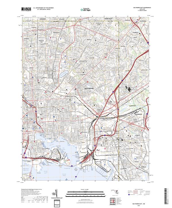
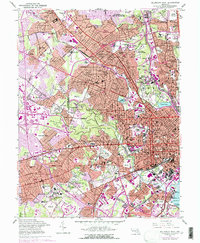
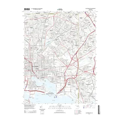
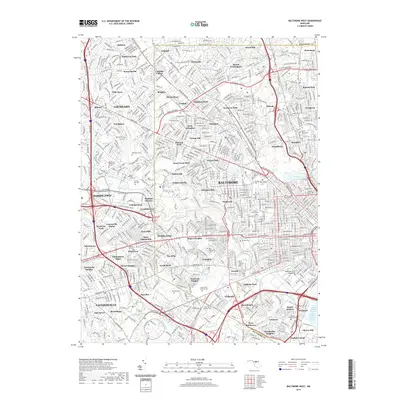
2023 Map of Baltimore East
USGS Topo · Published 2023About this map
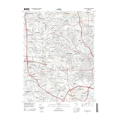
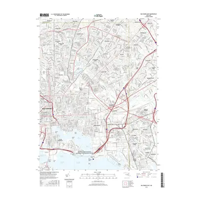
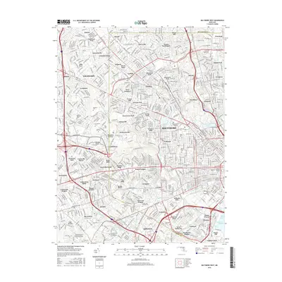
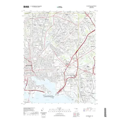
Baltimore's industrial and maritime heart is documented in this contemporary survey, centering on the densely developed urban core and its extensive harbor. The map highlights the historic defenses at Fort McHenry and the nearby Lazaretto Point, overlooking the West Channel and East Channel where the Middle Branch Patapsco River meets the bay. To the north, the landscape transitions into established neighborhoods like Waverly, Govanstown, and Gardenville, punctuated by major institutions including Morgan State University and Johns Hopkins University.
Find a feature on this map
239 named features on this map. Tap any name to fly to it.
Don’t see what you’re looking for? This feature index may not catch every label — zoom into the map to look around manually.
Map Details
Editions of this 2023 Baltimore East Map
This is the sole edition of this map. No revisions or reprints were ever made.
Historical Maps of Baltimore Through Time
14 maps found
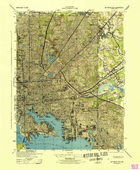
1944 Baltimore East
Baltimore City County, MD
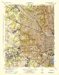
1944 Baltimore West
Baltimore City County, MD
1953 Baltimore East
Baltimore City County, MD
1953 Baltimore West
Baltimore City County, MD
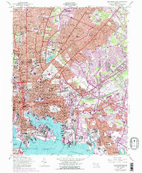
2011 Baltimore East
Baltimore City County, MD
2011 Baltimore West
Baltimore City County, MD
2014 Baltimore East
Baltimore City County, MD
2014 Baltimore West
Baltimore City County, MD
2016 Baltimore East
Baltimore City County, MD
2016 Baltimore West
Baltimore City County, MD
2019 Baltimore East
Baltimore City County, MD
2019 Baltimore West
Baltimore City County, MD
2023 Baltimore East
Baltimore City County, MD
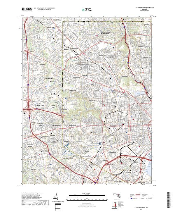
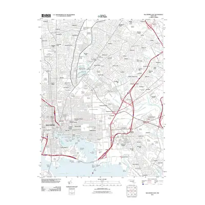
2023 Baltimore West
Baltimore City County, MD