2023 Map of Bangor
USGS Topo · Published 2023About this map
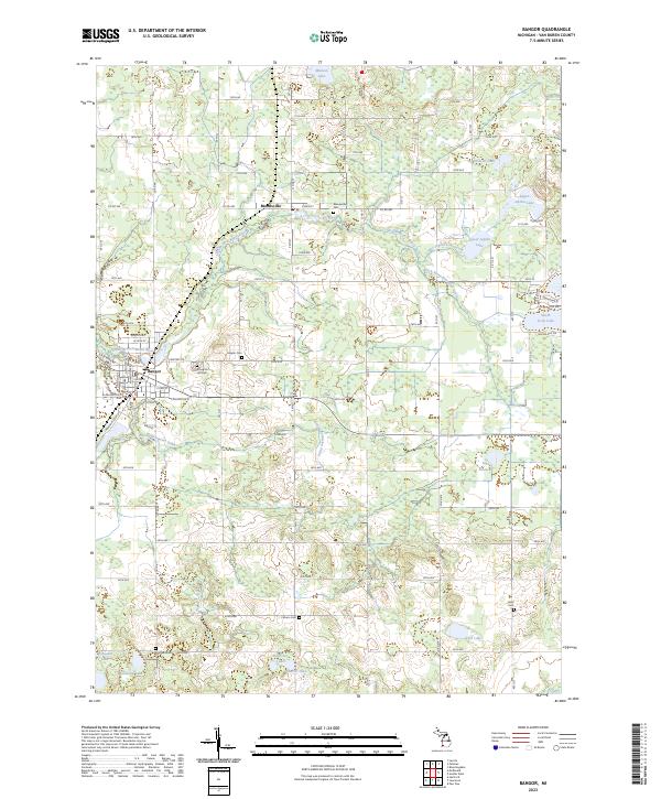
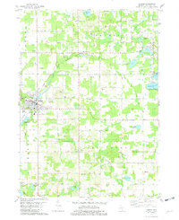
Bangor and the village of Breedsville anchor this rural landscape in Van Buren County, defined by the winding course of the South Branch Black River. The area is densely patterned with small lakes and drainage networks, including Upper Jeptha Lake, Lake Fourteen, and Fisk Lake, illustrating the complex hydrology of this corner of Michigan. For local historians and genealogists, the map reveals a high density of burial grounds dispersed among the farmsteads, from the central Arlington Hill Cem to the outlying Coburn Cem, Hicks Cem, and Hoppin Cem. The grid of section roads, many retaining numeric names like 24th Ave and 30th Ave, speaks to the enduring agrarian structure of the township. A industrial corridor is visible on the southwestern edge of the city of Bangor along Industrial Park Dr, contrasting with the more traditional street plan centered on W Arlington St.
Find a feature on this map
62 named features on this map. Tap any name to fly to it.
Don’t see what you’re looking for? This feature index may not catch every label — zoom into the map to look around manually.
Map Details
Editions of this 2023 Bangor Map
This is the sole edition of this map. No revisions or reprints were ever made.
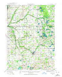
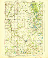
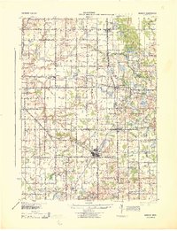
Historical Maps of Arlington Township Through Time
5 maps found
Featured Locations
- Arlington Township, MI
- Bangor, MI
- Bangor Township, MI
- Columbia Township, MI
- Breedsville, Columbia Township