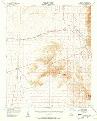
1956 Map of Bannock
USGS Topo · Published 1961About this map
The Atchison Topeka and Santa Fe railroad corridor anchors this mid-century desert survey, tracing a path through the eastern Mojave where water and transit dictated human presence. Small railroad sidings and stops like Bannock, Homer, and Ibis illustrate the sparse infrastructure required to maintain cross-continental transit. The terrain is dominated by the Sacramento Mountains and the Dead Mountains, with significant geographic markers such as Flattop Mtn and Eagle Peak rising above the alluvial basins. Historical transport patterns are visible through the Old Santa Fe Trails Road, which mirrors the rail line's path across the arid landscape. Water sources remain critical and scarce, represented by Sacramento Springs and the drainage systems of Piute Wash and Homer Wash. Several prospects scattered near the mountains hint at the mineral exploration common to this part of San Bernardino County.
Find a feature on this map
21 named features on this map. Tap any name to fly to it.
Don’t see what you’re looking for? This feature index may not catch every label — zoom into the map to look around manually.
Map Details
Editions of this 1956 Bannock Map
2 editions found
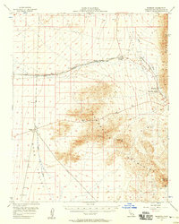
Other maps of this area

1886 · Camp Mohave
USGS Topo · 1:250,000

1892 · Camp Mohave
USGS Topo · 1:250,000

1903 · Needles
USGS Topo · 1:125,000

1904 · Needles Special
USGS Topo · 1:125,000

1910 · Ivanpah
USGS Topo · 1:250,000

1912 · Ivanpah
USGS Topo · 1:250,000

1926 · Mohave City
USGS Topo · 1:96,000

1942 · Camp Mohave
USGS Topo · 1:250,000

1942 · Ivanpah
USGS Topo · 1:250,000

1942 · Amboy
USGS Topo · 1:250,000