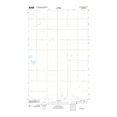
2011 Map of Bantry NW
USGS Topo · Published 2011About this map
Cut Bank Creek meanders through the northwest corner of this prairie landscape, defining the hydrology of a region dominated by a precise section-line road network. The terrain is marked by numerous small, unnamed depressions and basins characteristic of the glaciated plains, with Goose Lake serving as a significant localized water feature in the western portion of the quadrangle. The agricultural organization of the land is evident in the strictly gridded orientation of routes such as 7th Ave N and 74th St N. This 2011 survey by the U.S. Geological Survey records the sparse, open character of McHenry County at the start of the decade, where the intersection of natural drainage patterns and human-imposed geometry shapes the rural environment.
Find a feature on this map
15 named features on this map. Tap any name to fly to it.
Don’t see what you’re looking for? This feature index may not catch every label — zoom into the map to look around manually.
Map Details
Editions of this 2011 Bantry NW Map
This is the sole edition of this map. No revisions or reprints were ever made.
Other maps of this area

1949 · Granville NE
USGS Topo · 1:24,000

1949 · Riga
USGS Topo · 1:24,000

1949 · Granville
USGS Topo · 1:24,000

1949 · Denbigh
USGS Topo · 1:24,000

1949 · Bantry
USGS Topo · 1:24,000

1950 · Upham SE
USGS Topo · 1:24,000

1950 · Upham
USGS Topo · 1:24,000

1950 · Newburg SE
USGS Topo · 1:24,000

1950 · Denbigh
USGS Topo · 1:24,000

1950 · Bantry NW
USGS Topo · 1:24,000