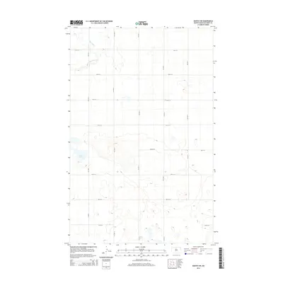
2014 Map of Bantry NW
USGS Topo · Published 2014About this map
Cut Bank Creek meanders through the northwest corner of this prairie landscape in McHenry County, north of the Great Plains. The terrain is characterized by subtle elevation changes and numerous small depressions typical of the region's glaciated history, including Goose Lake in the west-central portion of the quadrangle. The grid-based settlement pattern is defined by a systematic network of numbered roads, including 7th Ave N and 74th St N. While primarily an agricultural expanse, the presence of the Prairie Trl suggests a modern layer of land use alongside traditional rural section lines. The Cut Bank Cr drainage basin dominates the local hydrology, providing a natural contrast to the strictly rectilinear human geometry of the surrounding fields.
Find a feature on this map
17 named features on this map. Tap any name to fly to it.
Don’t see what you’re looking for? This feature index may not catch every label — zoom into the map to look around manually.
Map Details
Editions of this 2014 Bantry NW Map
This is the sole edition of this map. No revisions or reprints were ever made.
Other maps of this area

1949 · Granville NE
USGS Topo · 1:24,000

1949 · Riga
USGS Topo · 1:24,000

1949 · Granville
USGS Topo · 1:24,000

1949 · Denbigh
USGS Topo · 1:24,000

1949 · Bantry
USGS Topo · 1:24,000

1950 · Upham SE
USGS Topo · 1:24,000

1950 · Upham
USGS Topo · 1:24,000

1950 · Newburg SE
USGS Topo · 1:24,000

1950 · Denbigh
USGS Topo · 1:24,000

1950 · Bantry NW
USGS Topo · 1:24,000