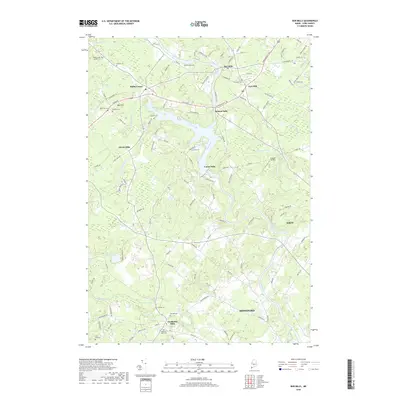
2018 Map of Bar Mills
USGS Topo · Published 2018About this map
The Saco River defines the landscape of this York County region, winding past historical mill sites and riverbank settlements. Significant local heritage is anchored in the clusters of Bar Mills, Salmon Falls, and Union Falls, reflecting a traditional river-based economy that has shaped the area's development for generations. To the west, Hollis Center serves as a primary inland hub, while the southern reaches feature the distinct community of Goodwins Mills. Genealogists will find a wealth of named lots and burial grounds throughout the countryside, including Riverside Cem, Tory Hill Cem, and the Bear Hill Cem near Bear Hill. The map also preserves the footprints of rural aviation at Greaton Airfield and numerous named family plots such as the Hanson Lot and Bradbury Lot, offering a precise record of land ownership and community structure in this part of Maine.
Find a feature on this map
118 named features on this map. Tap any name to fly to it.
Don’t see what you’re looking for? This feature index may not catch every label — zoom into the map to look around manually.
Map Details
Editions of this 2018 Bar Mills Map
This is the sole edition of this map. No revisions or reprints were ever made.
Other maps of this area

1891 · Portland
USGS Topo · 1:62,500

1891 · Biddeford
USGS Topo · 1:62,500

1891 · Kennebunk
USGS Topo · 1:62,500

1891 · Buxton
USGS Topo · 1:62,500

1892 · Buxton
USGS Topo · 1:62,500

1893 · Kennebunk
USGS Topo · 1:62,500

1893 · Biddeford
USGS Topo · 1:62,500

1893 · Portland
USGS Topo · 1:62,500

1893 · Buxton
USGS Topo · 1:62,500

1898 · Kennebunk
USGS Topo · 1:62,500