2021 Map of Barada
USGS Topo · Published 2021About this map
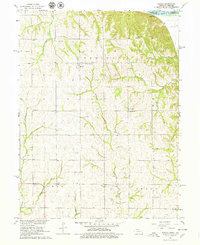
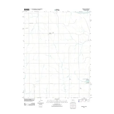
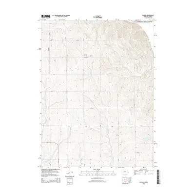
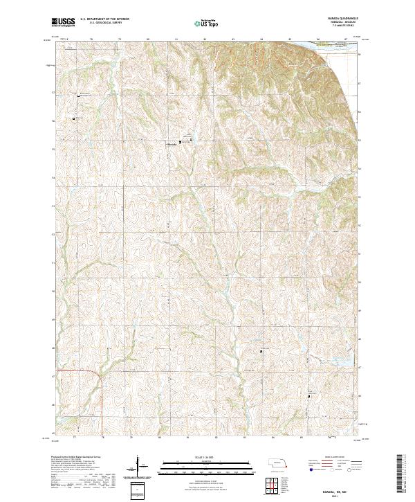
Barada sits amidst a complex network of creeks and ridge trails just west of the Missouri River in Richardson County. This survey reveals a landscape deeply connected to local genealogy and settlement history, evidenced by a high density of small family and community burial sites. From the Moorhead Cem and Berg Cem in the northwest to Saint Anns Cem and Harris Cem near the town center, these locations offer specific touchpoints for tracing family lineages. The terrain is defined by numerous watercourses including Halfbreed Cr and Winnebago Cr, the latter of which features the Winnebago Cr Reservoir 41-3A. Local landmarks like the Brick Church and the curiously named Dustless Hwy reflect the established rural infrastructure of the early 21st century. High points like Hilltop Tri and East Ridge Tri provide vantage points over the Missouri-Nebraska border region, where the river serves as the primary geographic boundary.
Find a feature on this map
50 named features on this map. Tap any name to fly to it.
Don’t see what you’re looking for? This feature index may not catch every label — zoom into the map to look around manually.
Map Details
Editions of this 2021 Barada Map
This is the sole edition of this map. No revisions or reprints were ever made.
Historical Maps of Barada Through Time
5 maps found