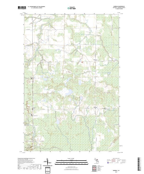
2023 Map of Barbeau
USGS Topo · Published 2023About this map
Barbeau and McCarron anchor this part of the eastern Upper Peninsula, where a grid of rural roads meets the winding courses of the Charlotte River and Little Munuscong River. The map provides significant detail for family historians, documenting several burial grounds including Donaldson Cem, the Donaldson Catholic Cem, and the Barbeau / Holy Family Catholic Cem. The landscape is characterized by a dense network of sectional roads such as Seymour Rd and S Riverside Dr that cut through the low-lying terrain drained by Spring Creek and School Creek. Modern developments like Oaklawn Chapel Gardens appear alongside established routes like M 129, illustrating the transition of these townships into the twenty-first century while maintaining their foundational agricultural and residential patterns.
Find a feature on this map
45 named features on this map. Tap any name to fly to it.
Don’t see what you’re looking for? This feature index may not catch every label — zoom into the map to look around manually.
Map Details
Editions of this 2023 Barbeau Map
This is the sole edition of this map. No revisions or reprints were ever made.
Other maps of this area

1913 · Sault Sainte Marie
USGS Topo · 1:62,500

1919 · Neebish
USGS Topo · 1:62,500

1941 · Neebish
USGS Topo · 1:63,360

1941 · Sault Sainte Marie
USGS Topo · 1:63,360

1951 · Shallows
USGS Topo · 1:24,000

1951 · Dafter
USGS Topo · 1:24,000

1951 · Barbeau
USGS Topo · 1:24,000

1951 · Baie De Wasai
USGS Topo · 1:24,000

1951 · Oak Ridge
USGS Topo · 1:24,000

1951 · Sault Ste. Marie
USGS Topo · 1:62,500