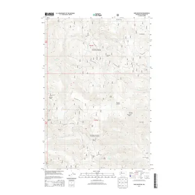
2013 Map of Bare Mountain
USGS Topo · Published 2013About this map
Government Mineral Springs sits in the southeastern corner of this mountainous landscape, serving as a rare point of named human infrastructure within the dense terrain of the Gifford Pinchot National Forest. This 2013 survey details a topography defined by steep ridges and high summits, including Observation Peak, Calamity Peak, and the central Bare Mtn. A complex network of Forest Service roads, such as Nat For Dev Rd 54 and Nat For Dev Rd 317, provides the only access through deep drainage basins like those of Trapper Cr and Siouxon Cr. High-elevation landmarks like the Observation Peak Lookout and the Observation Berryfield Campground suggest a landscape managed for both fire surveillance and recreation. The presence of Soda Peaks Lake tucked beneath the Soda Peaks underscores the glacial and volcanic history that carved these Cascadian highlands.
Find a feature on this map
79 named features on this map. Tap any name to fly to it.
Don’t see what you’re looking for? This feature index may not catch every label — zoom into the map to look around manually.
Map Details
Editions of this 2013 Bare Mountain Map
This is the sole edition of this map. No revisions or reprints were ever made.
Other maps of this area

1919 · Mount St Helens
USGS Topo · 1:125,000

1926 · Steamboat Mtn
USGS Topo · 1:125,000

1926 · Hood River
USGS Topo · 1:125,000

1929 · Hood River
USGS Topo · 1:125,000

1931 · Steamboat Mtn
USGS Topo · 1:125,000

1940 · Lookout Mtn
USGS Topo · 1:62,500

1948 · Vancouver
USGS Topo · 1:250,000

1950 · Vancouver
USGS Topo · 1:250,000

1950 · Vancouver
USGS Topo · 1:250,000

1950 · Yakima
USGS Topo · 1:250,000