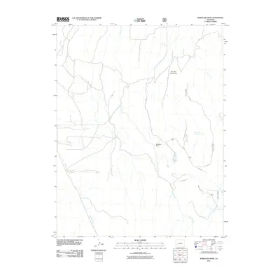
2011 Map of Barkelew Draw
USGS Topo · Published 2011About this map
Hamilton Creek and its complex network of seasonal drainages define this high-altitude landscape in San Miguel County. The terrain is marked by significant topographical depressions, most notably Barkelew Draw and West Mud Spring Draw, which channel runoff through a series of canyons. Human intervention in this arid environment is evidenced by the presence of the Lilylands Canal and the Two Fork Reservoir, critical infrastructure for water management and ranching in the region.
Find a feature on this map
19 named features on this map. Tap any name to fly to it.
Don’t see what you’re looking for? This feature index may not catch every label — zoom into the map to look around manually.
Map Details
Editions of this 2011 Barkelew Draw Map
This is the sole edition of this map. No revisions or reprints were ever made.
Other maps of this area

1916 · Paradox Valley
USGS Topo · 1:125,000

1922 · Paradox Valley
USGS Topo · 1:125,000

1956 · Cortez
USGS Topo · 1:250,000

1956 · Moab
USGS Topo · 1:250,000

1958 · Cortez
USGS Topo · 1:250,000

1959 · Cortez
USGS Topo · 1:250,000

1959 · Moab
USGS Topo · 1:250,000

1960 · Moab
USGS Topo · 1:250,000

1962 · Moab
USGS Topo · 1:250,000

1962 · Cortez
USGS Topo · 1:250,000