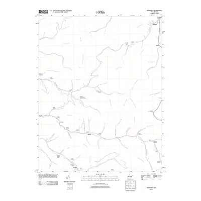
2011 Map of Barnabus
USGS Topo · Published 2011About this map
Pigeon Creek and its many winding tributaries define the settlement patterns of this Mingo County landscape, where communities like Musick and Pie follow the narrow valley floors. The map records a dense collection of family-named landmarks and burial sites, including multiple locations of the Hatfield Cemetery and the Chafin Cemetery near Newtown. These features provide critical geographic context for genealogists and local historians studying the families of the Tug Fork region.
Find a feature on this map
88 named features on this map. Tap any name to fly to it.
Don’t see what you’re looking for? This feature index may not catch every label — zoom into the map to look around manually.
Map Details
Editions of this 2011 Barnabus Map
This is the sole edition of this map. No revisions or reprints were ever made.
Other maps of this area

1887 · Warfield
USGS Topo · 1:125,000

1891 · Oceana
USGS Topo · 1:125,000

1891 · Warfield
USGS Topo · 1:125,000

1893 · Oceana
USGS Topo · 1:125,000

1898 · Oceana
USGS Topo · 1:125,000

1909 · Matewan
USGS Topo · 1:48,000

1909 · Gilbert
USGS Topo · 1:48,000

1910 · Holden
USGS Topo · 1:48,000

1912 · Gilbert
USGS Topo · 1:62,500

1912 · Holden
USGS Topo · 1:62,500