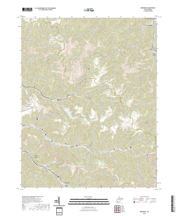
2023 Map of Barnabus
USGS Topo · Published 2023About this map
Island Creek and its many winding tributaries define this section of the Logan and Mingo county border in West Virginia. The landscape is characterized by narrow valleys and steep ridges, where small communities like Barnabus, Stirrat, and Sarah Ann are situated along the creek beds. Transport in the region is anchored by US Rte 52, which connects the southern settlements of Pie and Musick.
Find a feature on this map
81 named features on this map. Tap any name to fly to it.
Don’t see what you’re looking for? This feature index may not catch every label — zoom into the map to look around manually.
Map Details
Editions of this 2023 Barnabus Map
This is the sole edition of this map. No revisions or reprints were ever made.
Other maps of this area

1887 · Warfield
USGS Topo · 1:125,000

1891 · Oceana
USGS Topo · 1:125,000

1891 · Warfield
USGS Topo · 1:125,000

1893 · Oceana
USGS Topo · 1:125,000

1898 · Oceana
USGS Topo · 1:125,000

1909 · Matewan
USGS Topo · 1:48,000

1909 · Gilbert
USGS Topo · 1:48,000

1910 · Holden
USGS Topo · 1:48,000

1912 · Gilbert
USGS Topo · 1:62,500

1912 · Holden
USGS Topo · 1:62,500