Loading...
Loading map...1989 Map of Barnegat Light
USGS Topo · Published 1989About this map
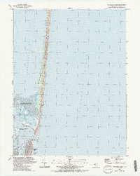
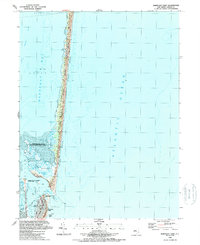
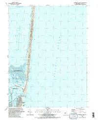
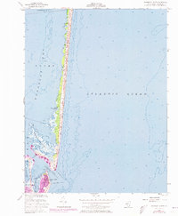
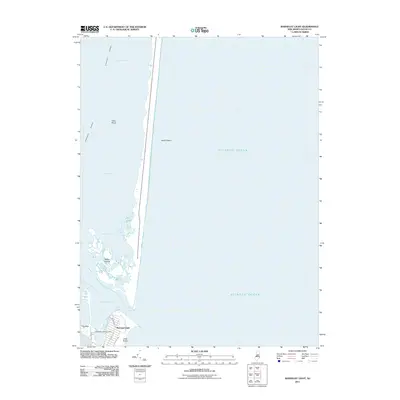
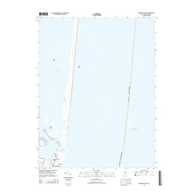
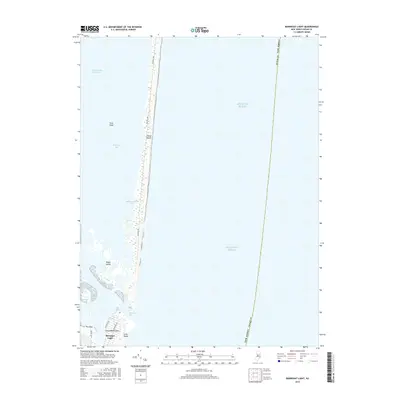
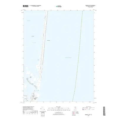
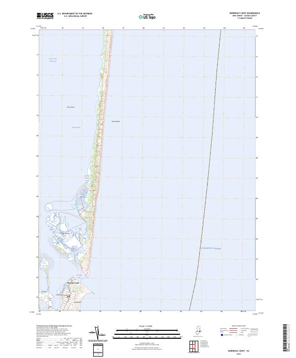
Island Beach State Park dominates this narrow barrier island landscape, preserving a strip of Sand Dunes and Sand Beach between the open Atlantic Ocean and the sheltered waters of Barnegat Bay. To the south, the borough of Barnegat Light sits at the tip of Long Beach, home to the historic Barnegat Lighthouse State Park and an active Coast Guard Sta overlooking the treacherous Barnegat Inlet.
Find a feature on this map
22 named features on this map. Tap any name to fly to it.
Don’t see what you’re looking for? This feature index may not catch every label — zoom into the map to look around manually.
Map Details
Date Portrayed1989
Date Published1989
PublisherU.S. Geological Survey
Map TypeTopographic
Scale1:24,000
Physical Dimensions21.78 x 27.37 inches
Editions of this 1989 Barnegat Light Map
3 editions found
Historical Maps of Berkeley Township Through Time
7 maps found
Featured Locations
Source Details
SourceU.S. Geological Survey
CopyrightPublic Domain