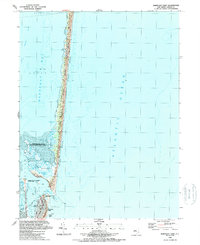
1989 Map of Barnegat Light
USGS Topo · Published 1989About this map
Island Beach State Park dominates the slender barrier peninsula shown here in the late 1980s, preserving a complex system of dunes and maritime forest between the Atlantic Ocean and Barnegat Bay. The southern end of the map centers on the navigationally significant Barnegat Inlet, where the historic Lighthouse stands within Barnegat Lighthouse State Park. This maritime landscape reflects the dual priorities of the era: conservation and recreation. Extensive protected zones like the Sedge Islands State Wildlife Management Areas provide habitat in the shallow waters of the bay, while the Intracoastal Waterway facilitates coastal transit. The borough of Barnegat Light is mapped in detail, showing a concentrated cluster of buildings, a Coast Guard Sta, and a Boat Ramp that anchor the community's relationship to the surrounding shoals and sea.
Find a feature on this map
23 named features on this map. Tap any name to fly to it.
Don’t see what you’re looking for? This feature index may not catch every label — zoom into the map to look around manually.
Map Details
Editions of this 1989 Barnegat Light Map
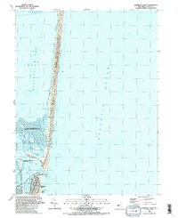
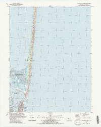
3 editions found
Other maps of this area

1888 · Barnegat
USGS Topo · 1:62,500

1888 · Long Beach
USGS Topo · 1:62,500

1893 · Long Beach
USGS Topo · 1:62,500

1893 · Barnegat
USGS Topo · 1:62,500

1898 · Barnegat
USGS Topo · 1:62,500

1919 · Long Beach
USGS Topo · 1:62,500

1919 · Barnegat
USGS Topo · 1:62,500

1941 · Toms River
USGS Topo · 1:62,500
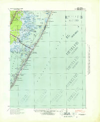
1941 · Long Beach
USGS Topo · 1:62,500

1946 · Wilmington
USGS Topo · 1:250,000