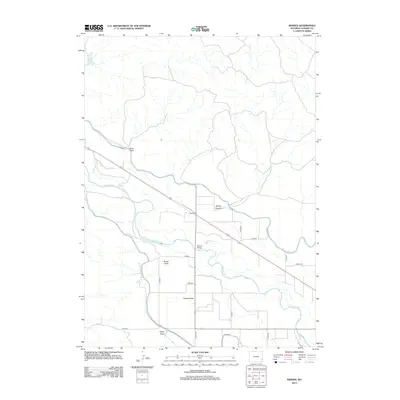
2012 Map of Barnes
USGS Topo · Published 2012About this map
N Platte River meanders through the heart of this Goshen County landscape, defining the local geography and agricultural patterns. The small settlement of Barnes sits near the river's path, connected by the functional Barnes Bridge. The surrounding terrain is marked by several ephemeral drainage features like Sand Draw, Bovee Draw, and Habig Draw, which cut through the higher ground toward the river valley.
Find a feature on this map
20 named features on this map. Tap any name to fly to it.
Don’t see what you’re looking for? This feature index may not catch every label — zoom into the map to look around manually.
Map Details
Editions of this 2012 Barnes Map
This is the sole edition of this map. No revisions or reprints were ever made.
Other maps of this area

1896 · Patrick
USGS Topo · 1:125,000

1896 · Hartville
USGS Topo · 1:125,000

1901 · Hartville
USGS Topo · 1:125,000

1950 · Rockeagle
USGS Topo · 1:24,000

1950 · Casebier Hill
USGS Topo · 1:24,000

1950 · Fort Laramie
USGS Topo · 1:24,000

1952 · Fort Laramie
USGS Topo · 1:24,000

1954 · Torrington
USGS Topo · 1:250,000

1958 · Torrington
USGS Topo · 1:250,000

1960 · Habig Spring
USGS Topo · 1:24,000