
1960 Map of Habig Spring
USGS Topo · Published 1962About this map
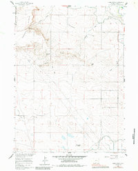
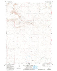
Harmony Heights and the South Rim define the varied topography of this Goshen County landscape, where deep erosional features like Habig Draw and Sheep Wash cut through the high plains. In the north, the boundary of the Fort Laramie National Historic Site marks a transition toward the historic river valley, supported by a network of local water engineering. The Fort Laramie Canal, Grattan Ditch, and Emigrant Trail Canal illustrate the intensive irrigation efforts necessary to sustain agriculture in this arid region. High points such as Twin Buttes, Chalk Hill, and Whitehorse Butte serve as prominent landmarks across London Flats, while water sources like Habig Spring and Sanderoock Spring provided vital points of contact for early travelers and settlers in the Wyoming territory.
Find a feature on this map
24 named features on this map. Tap any name to fly to it.
Don’t see what you’re looking for? This feature index may not catch every label — zoom into the map to look around manually.
Map Details
Editions of this 1960 Habig Spring Map
3 editions found
Other maps of this area

1896 · Patrick
USGS Topo · 1:125,000

1896 · Hartville
USGS Topo · 1:125,000

1899 · Goshen Hole
USGS Topo · 1:125,000

1901 · Hartville
USGS Topo · 1:125,000

1950 · Rockeagle
USGS Topo · 1:24,000

1950 · Fort Laramie
USGS Topo · 1:24,000

1952 · Fort Laramie
USGS Topo · 1:24,000

1954 · Torrington
USGS Topo · 1:250,000

1954 · Cheyenne
USGS Topo · 1:250,000

1958 · Cheyenne
USGS Topo · 1:250,000