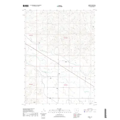
2017 Map of Barnes
USGS Topo · Published 2017About this map
The North Platte River winds through this section of Goshen County, defining the agricultural character of the high plains. The settlement of Barnes serves as a focal point near the river crossing at Barnes Bridge, while the residential area of Harmony Heights sits further south. The landscape is characterized by a series of significant drainage features and basins, including London Flats and several named coulees such as Bovee Draw, Habig Draw, and Sand Draw. These natural features, alongside Pine Ridge Cr, illustrate the complex hydrology of the region. The map reveals an established network of rural roads, including Wyncote Rd and Canal Rd, which support the irrigation and farming operations that have shaped this Wyoming community for generations.
Find a feature on this map
27 named features on this map. Tap any name to fly to it.
Don’t see what you’re looking for? This feature index may not catch every label — zoom into the map to look around manually.
Map Details
Editions of this 2017 Barnes Map
This is the sole edition of this map. No revisions or reprints were ever made.
Other maps of this area

1896 · Patrick
USGS Topo · 1:125,000

1896 · Hartville
USGS Topo · 1:125,000

1901 · Hartville
USGS Topo · 1:125,000

1950 · Rockeagle
USGS Topo · 1:24,000

1950 · Casebier Hill
USGS Topo · 1:24,000

1950 · Fort Laramie
USGS Topo · 1:24,000

1952 · Fort Laramie
USGS Topo · 1:24,000

1954 · Torrington
USGS Topo · 1:250,000

1958 · Torrington
USGS Topo · 1:250,000

1960 · Habig Spring
USGS Topo · 1:24,000